IN THE FOOTHILLS OF SOUTHERN ALBERTA

Before heading out to our daughter’s RV we decided to visit the Calgary Zoo. As a teenager in high school, Vicki was a part-time cashier at an entrance gate. Over the years we have enjoyed many visits to the zoo with our children. The Zoo first opened in 1917 on St Georges Island in the Bow River. The first animals on display were two mule deer with other native animals soon to follow. The Zoological Society was formed in 1929 to take over the operation of the Zoo from the city.

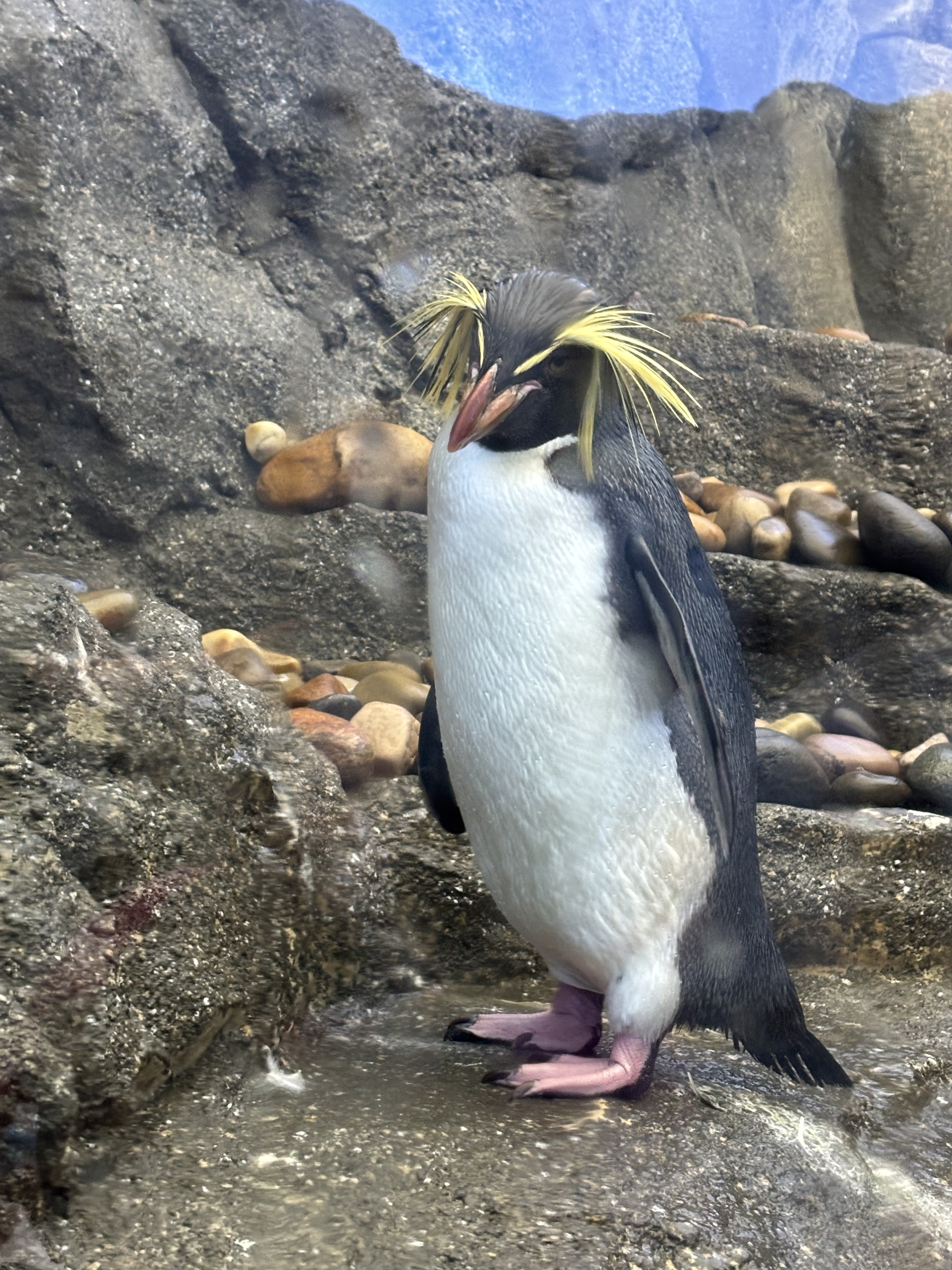
ROCKHOPPER PENGUIN, PENGUIN PLUNGE CALGARY ZOO

We were interested to see what new displays and enclosures had been build since our last visit. New to us is the Destination Africa exhibit, Land of Lemurs, the Penguin Plunge and Wild Canada. Interestingly, many of the animals in these enclosures we have seen in their natural habitats in Africa and during our cross country road trip.

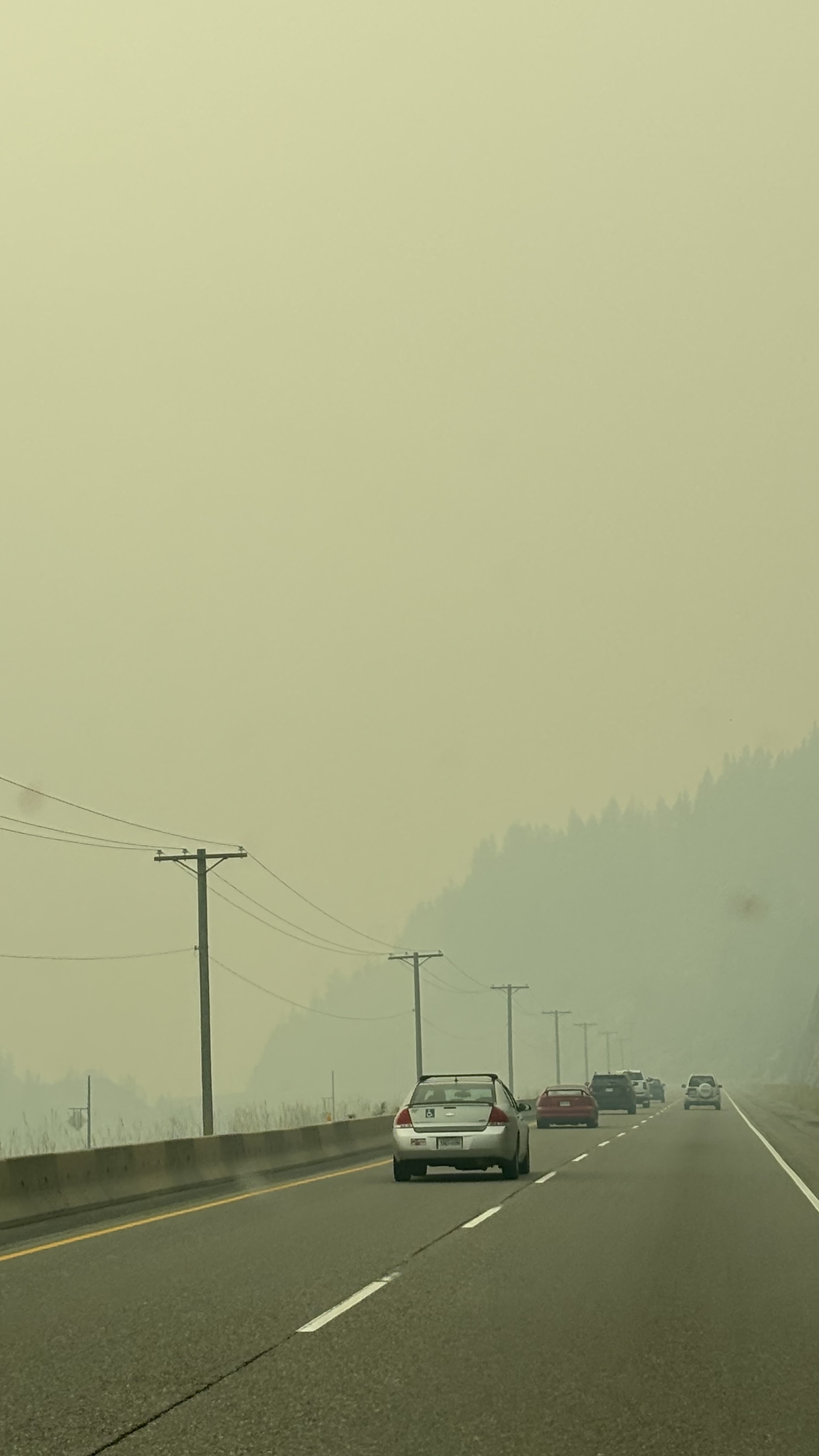
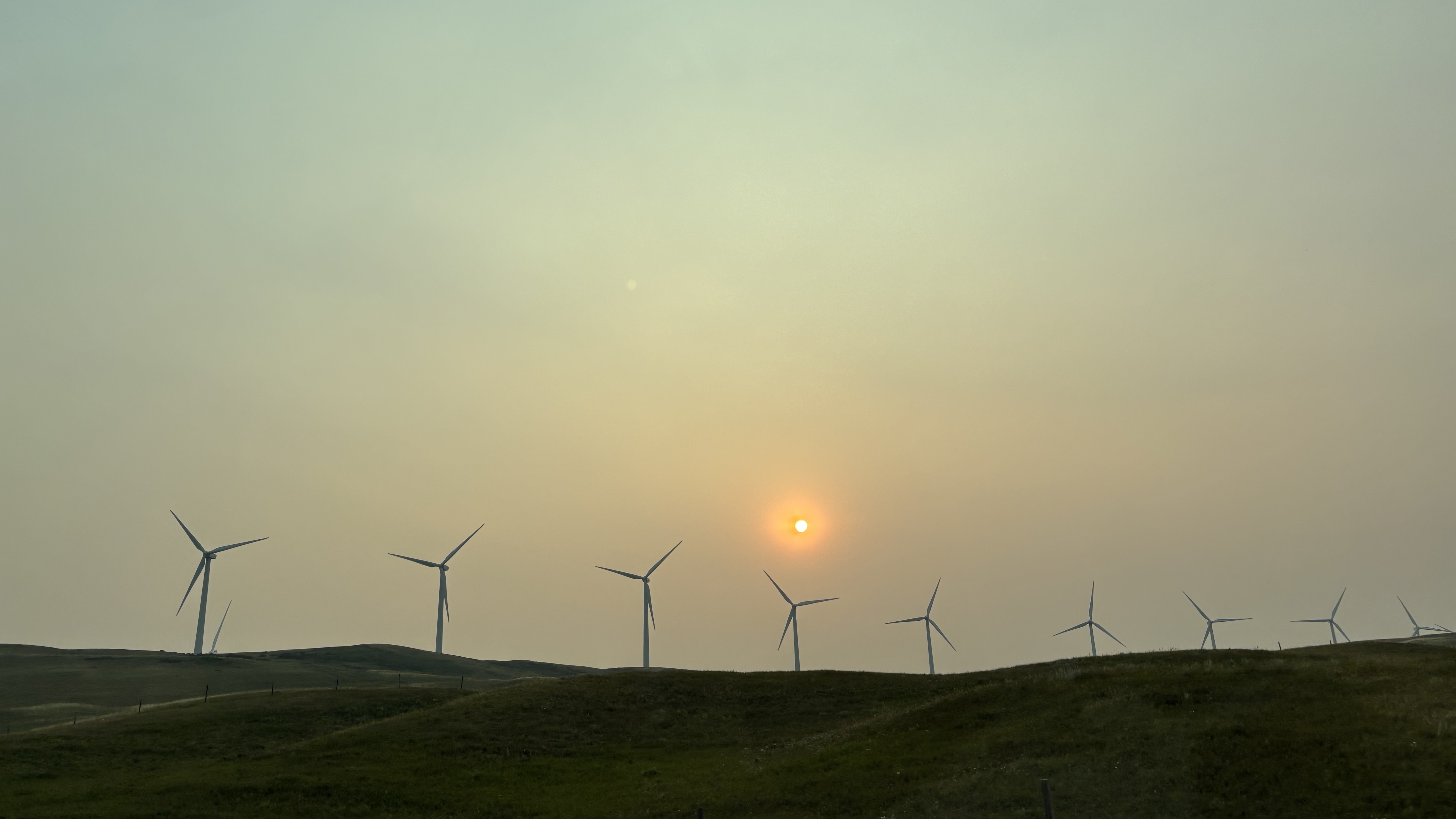
Friday afternoon found us heading south down Highway 2 towards Ft MacLeod. At the junction with Highway 3 we turn west and then south down Secondary Highway 810 to the bustling hamlet of Glenwood. Here Lindsay has situated her RV on a ridge in an RV park overlooking the Waterton River. All the way down the sun was obscured by smoke from the fires in BC and Washington State. I’m afraid the smoke will be our constant companion until we arrive home. This part of the province is usually very windy. We used to joke that the windsock at the Pincher Creek airport is a logging chain. Unfortunately, it’s not blowing the smoke away but it is making the wind turbines spin. TransAlta, the large power generating company operates a massive wind power installation with towers spread out for miles. Viewing the blades spinning in the smoke diffused sunshine has a surreal look to it.

TRANSALTA WINDFARM

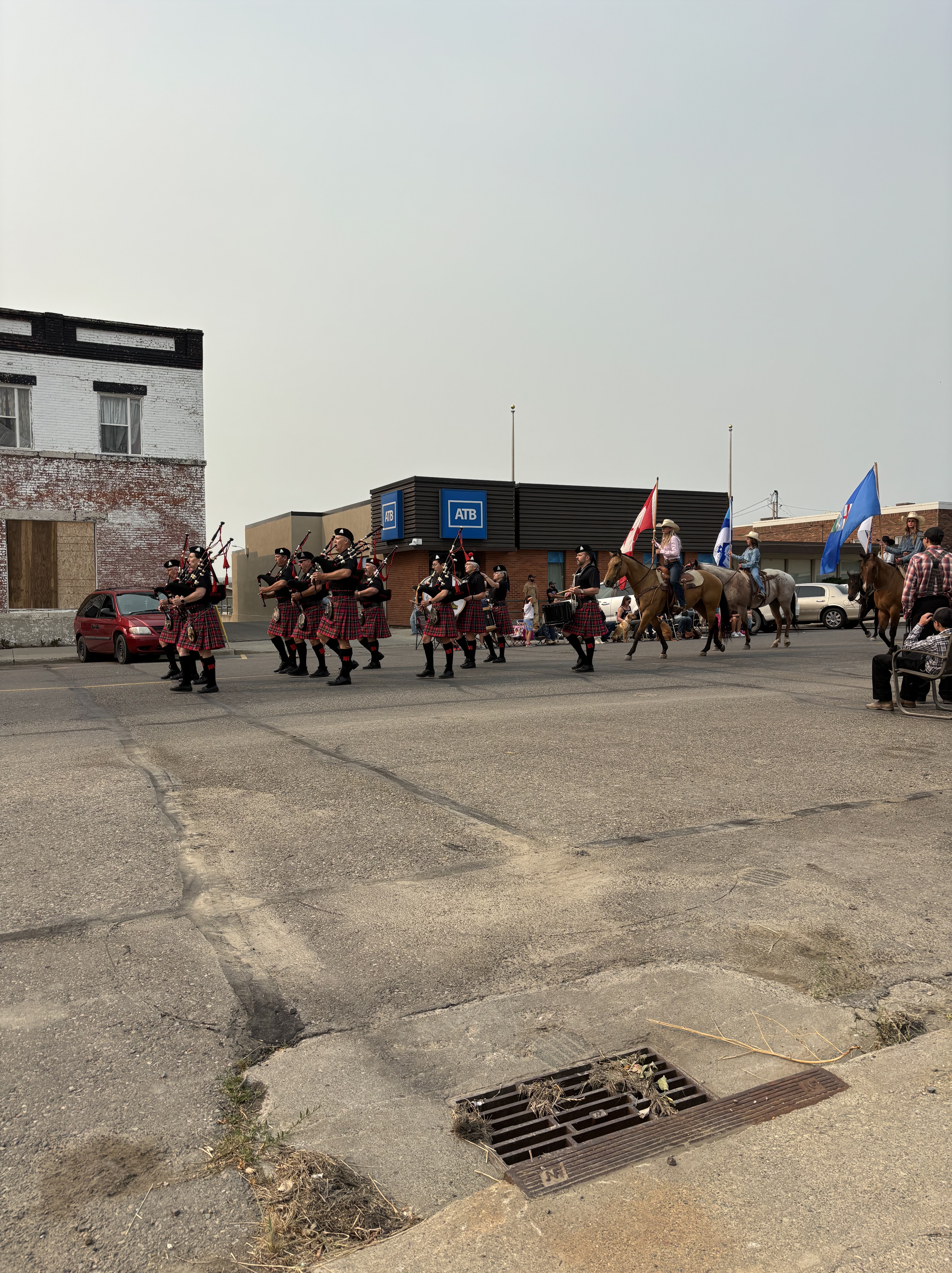
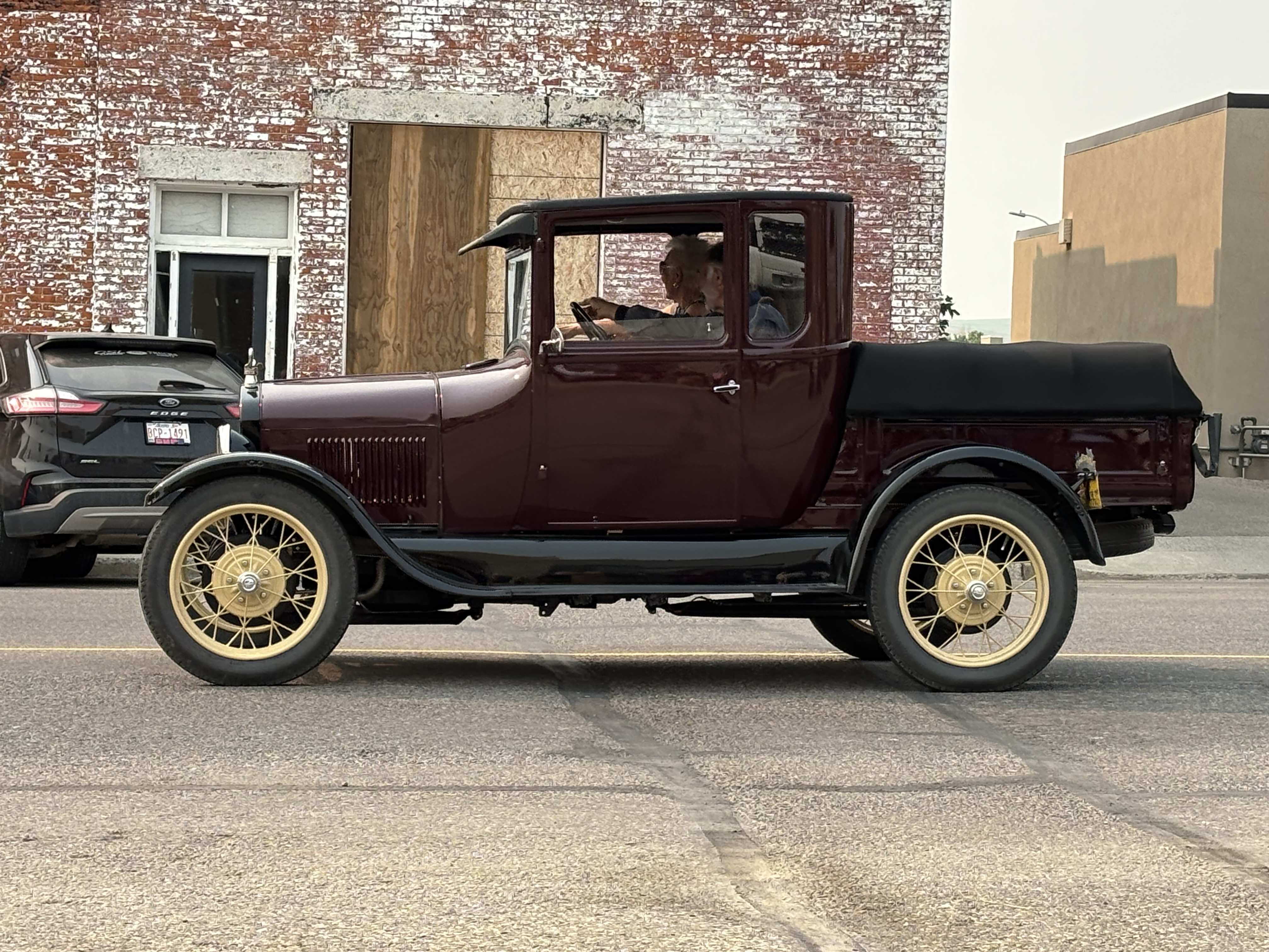
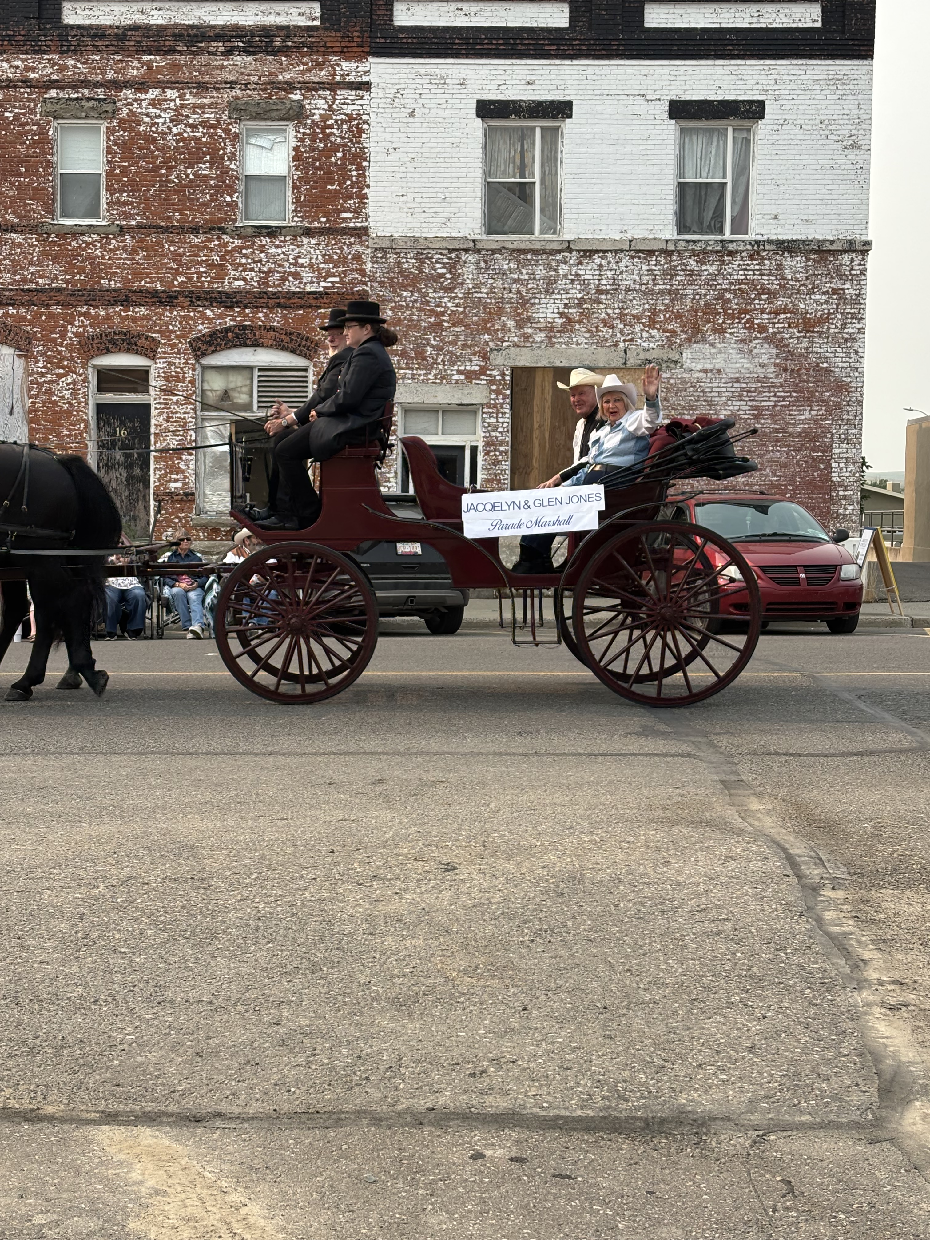
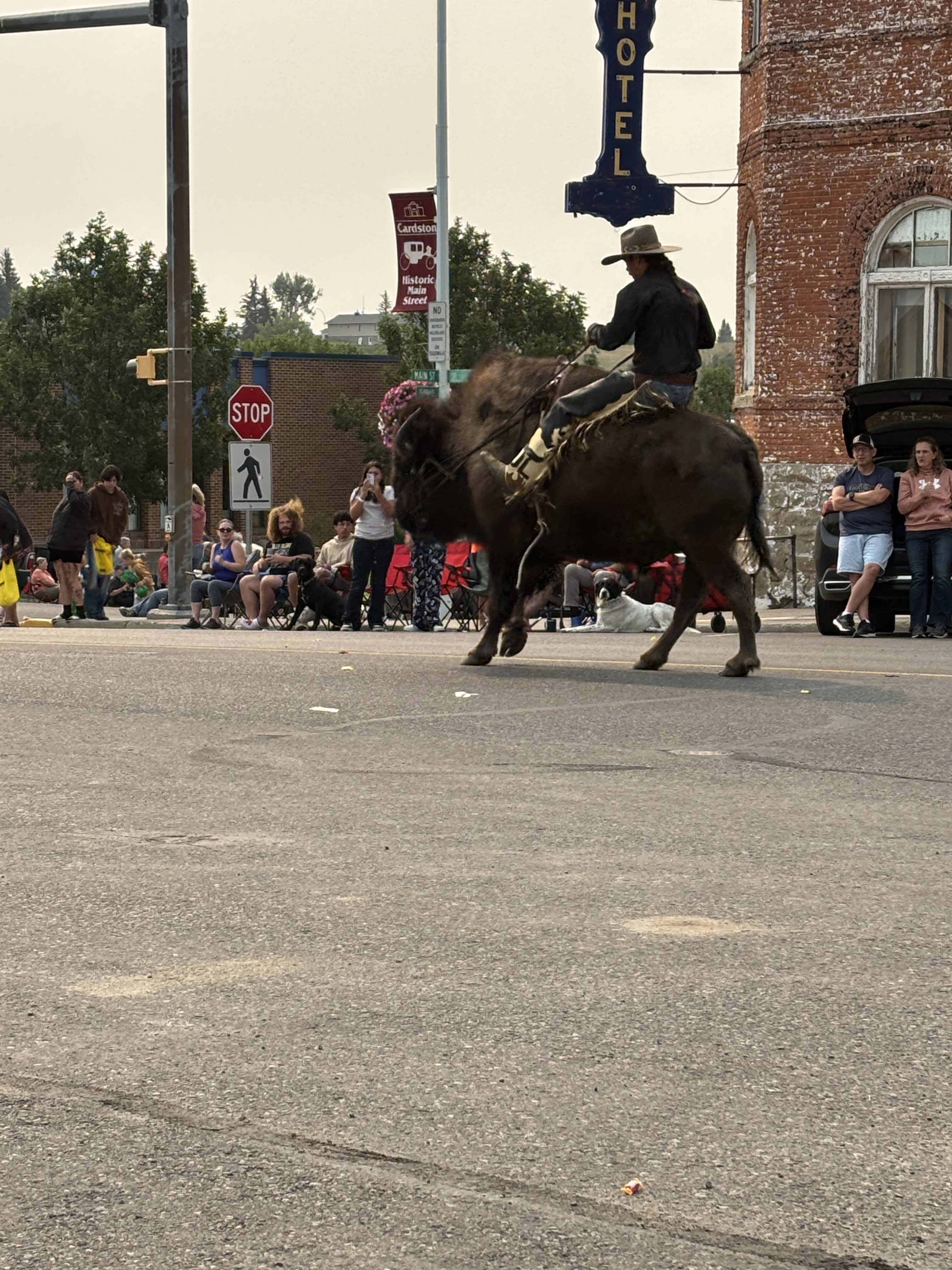
Saturday “at the trailer” had us heading for Cardston Alberta for the Carston Heritage Day parade. Cardston was founded in 1887 by Charles Ora Card and a group of 41 Mormon followers who left Utah and came to Canada to escape the American anti-polygamy laws.  The first LDS temple outside of the United States was completed in Cardston in 1923. Today is the annual Heritage Day celebrations complete with a parade, pancake breakfast and a rodeo. The parade had all the requisite parts: marching band, pretty girls on horseback, old trucks, local politicians and I can only assume to be a rodeo clown riding a buffalo. Of course, every float that went by was distributing copious amounts of candy. The local dentist is overjoyed.

LETHBRIDGE POLICE PIPE AND DRUM BAND WITH PRETTY GIRLS ON HORSEBACK

1929 FORD MODEL A PICKUP (thank you Google)

PARADE MARSHALS AND POLITICIANS

POSSIBLY THE RODEO CLOWN ON A BUFFALO
For the afternoon we journeyed to Waterton National Park and the Waterton townsite. Lots of tourists in town and we enjoyed lunch in the sunshine on an outdoor patio. Interesting to note Rotary’s involvement in the establishment of the Waterton-Glacier International Peace Park, with Rotarians for Alberta, Saskatchewan and Washington State successfully lobbying the respective governments leading to the establishment of the Park in 1932. The beautiful Prince of Wales Hotel is an iconic symbol of the Park.

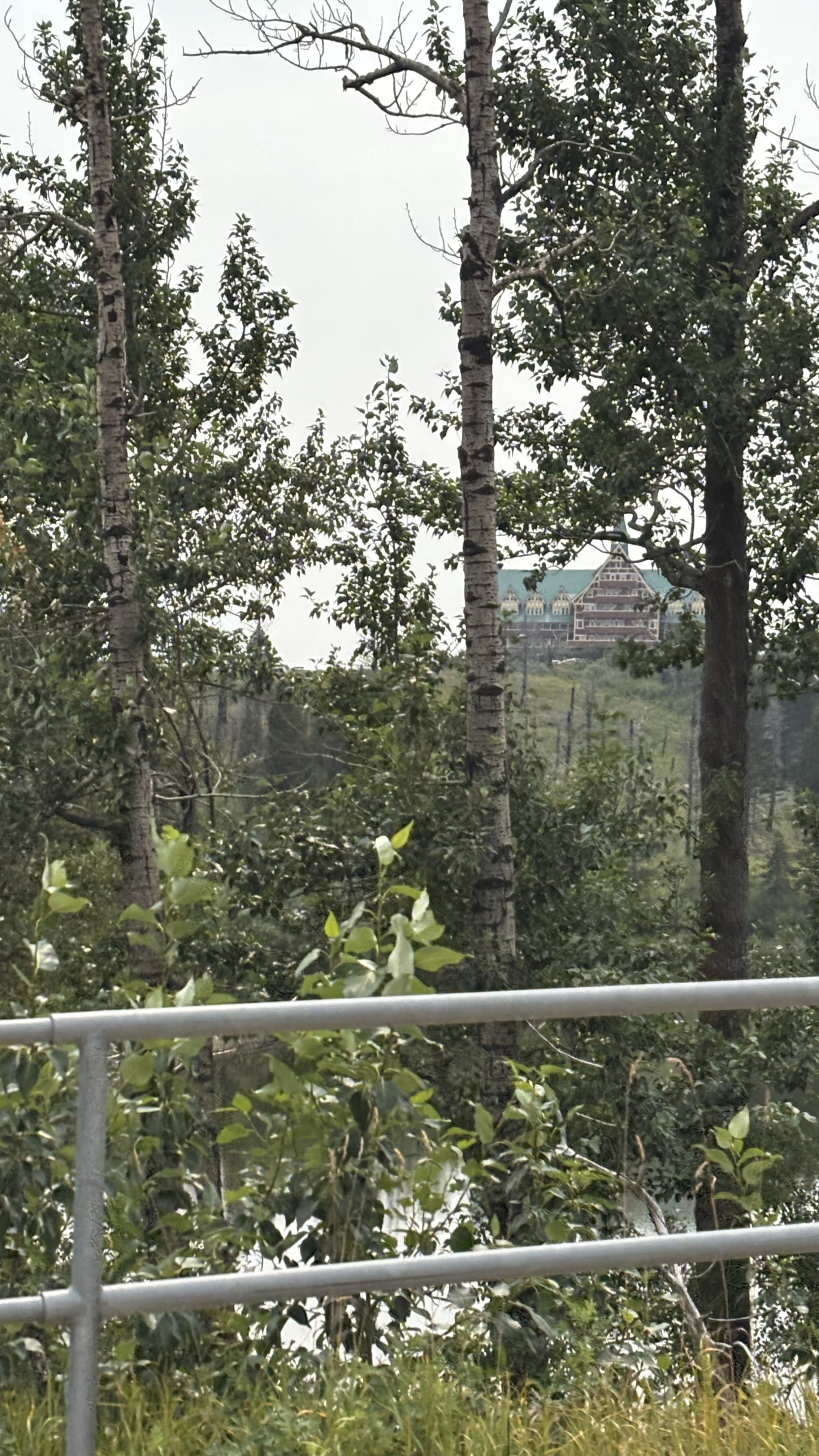
PEEK A BOO VIEW OF THE PRINCE OF WALES HOTEL THROUGH THE TREES OVERLOOKING THE WATERTON LAKE

Heading back to the trailer for the evening we stop to see what was happening in Glenwood. In two words, “not much”. Total population is estimated to be between 280-294 souls. On Main Street you will find Van & Dan’s General Store, Tina’s Café and Bakery, and the Glenwood Pioneer Ice Cream Parlour and Cheese Factory Museum. We managed to spend money at all three emporiums.

So that is our big day in southwestern foothills of Alberta. Be a real shame if they did decide to pursue independence. Will have to watch the developments there very closely. Tomorrow we begin the last phase of our journey, a dash across the BC through the smoke. I hope no road closures effect us. Take care.

PILE OF BONES

For hundreds, possibly thousands of years, First Nations people have been using Wascana Creek near modern day Regina for the hunting and processing of bison they had hunted; they collected and stacked the leftover bones in the belief that it would encourage the herds to return to the area.  Called oskana ka-asasteki in the Cree language, it literally means “the place where the bones are piled”. Later European settlers would translate this directly into the name” Pile O’ Bones. In 1882, the CPR construction crews reached the area and the community was renamed “Regina”, Latin for Queen, in honour of Queen Victoria, by her daughter Princess Louise. Today Regina is a modern city of with an estimated population of more than 270,000 citizens and home of most everyone’s favorite Canadian Football League team, the Saskatchewan Roughriders.

After a night in Regina we continued our way west. Destination tonight is Medicine Hat. Along the way through southern Saskatchewan, the topography changes little; unless you have your eyes and your mind open. I/we have driven this route many times over the years. The last trip for me was in 2010 when I rode a motorcycle from Cape Breton Island to Nanaimo.

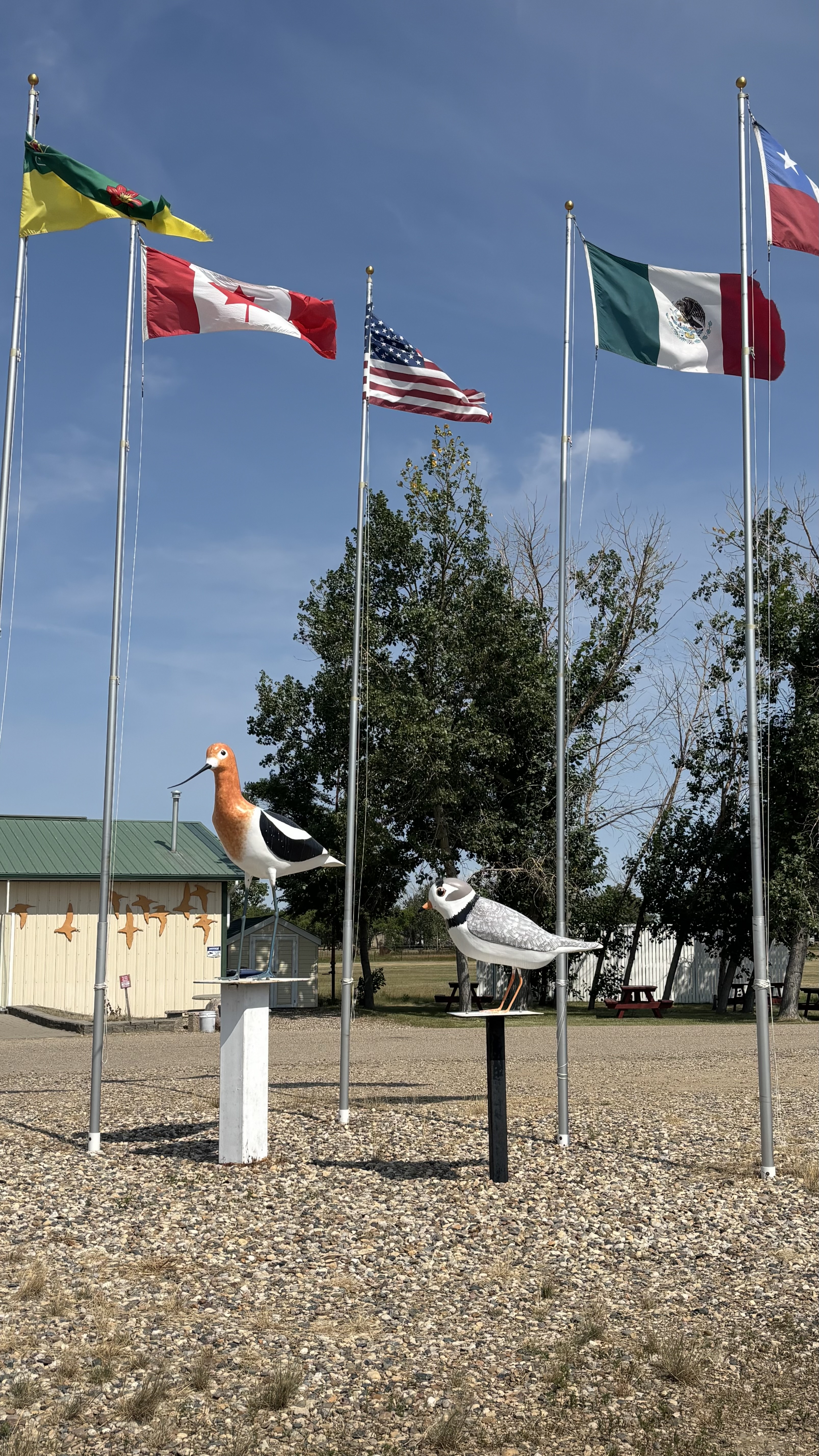
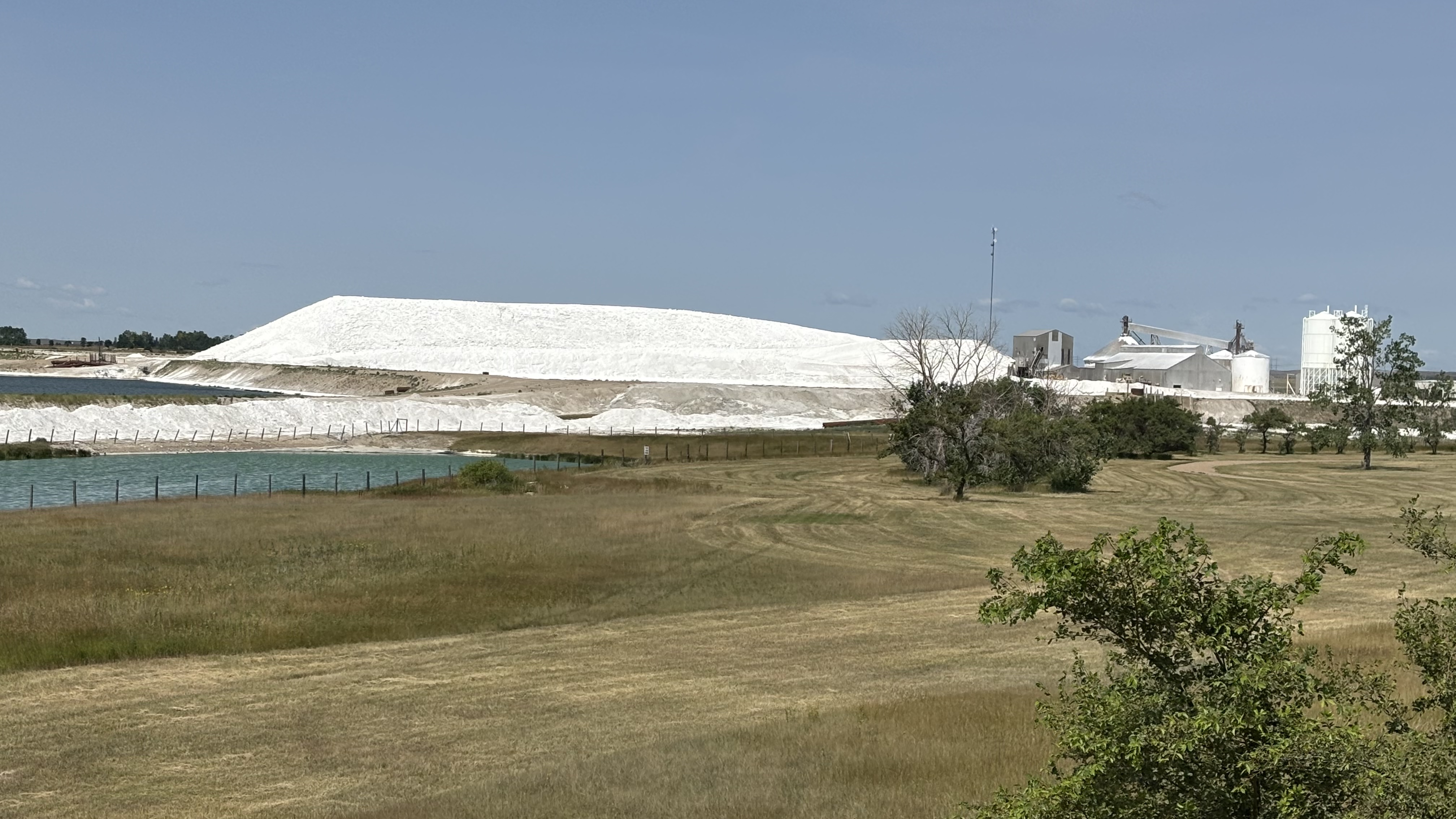
There are many interesting things to see. Just west of Moose Jaw and before you get to Swift Current or “Speedy Creek” as we used to call it, you come upon the Chaplin Nature Center. This area is known as the Chaplin Plain Landscape and consists of three lakes that provide refuge for resident and migratory birds. Chaplin Lake, Reed Lake and Old Wives Lake combined are one of the most important sites in North America for more than 100,000 migratory birds . Chaplin Lake is a large saltwater lake and home to the Saskatchewan Mining and Minerals company which is a major producer of commercial sodium sulphate. Huge mounds of the white salt can be seen. A good place for a bio-break.

CHAPLIN NATURE CENTER

SODIUM SULPHATE MINING NEAR CHAPLIN SASK

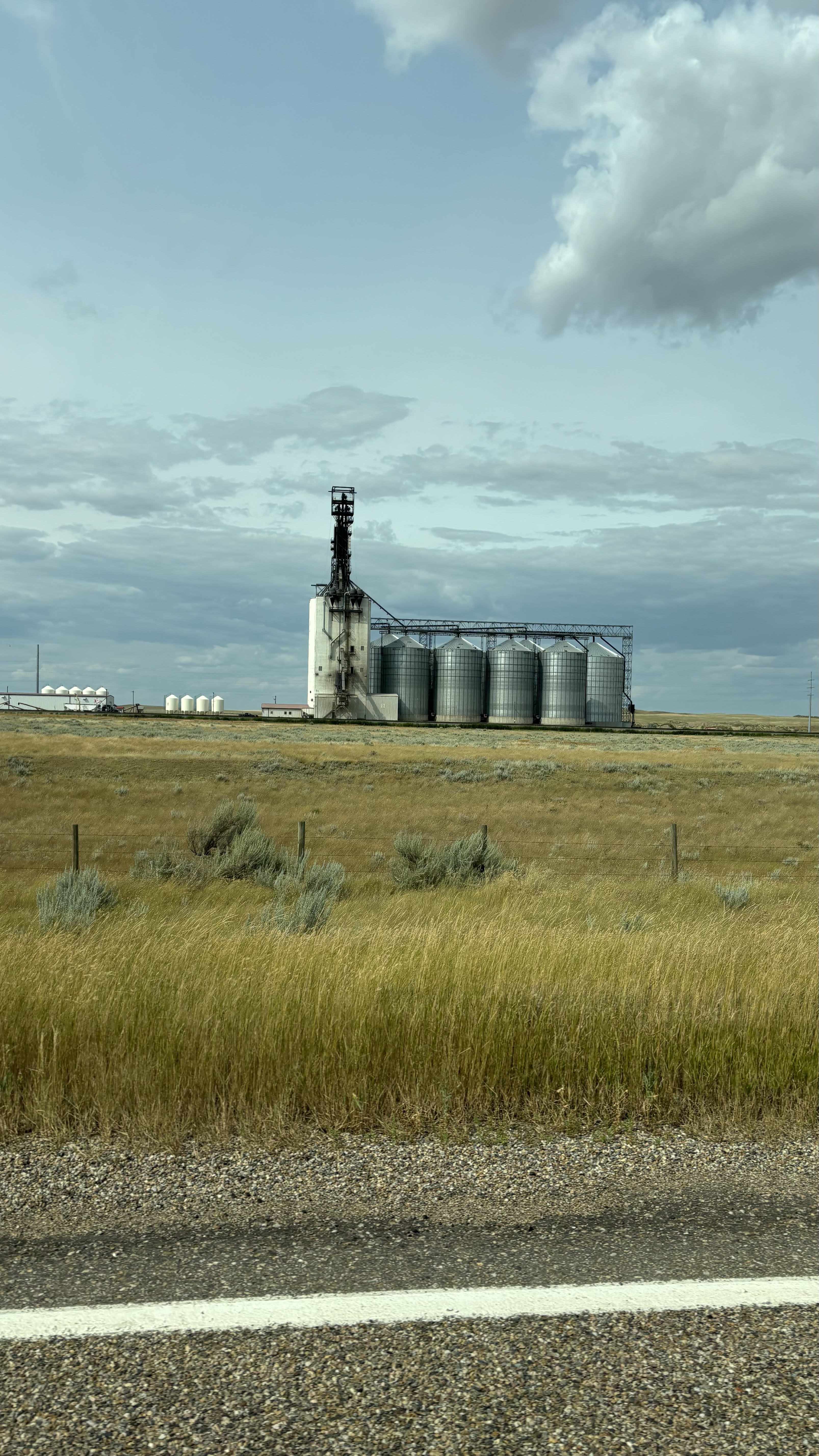
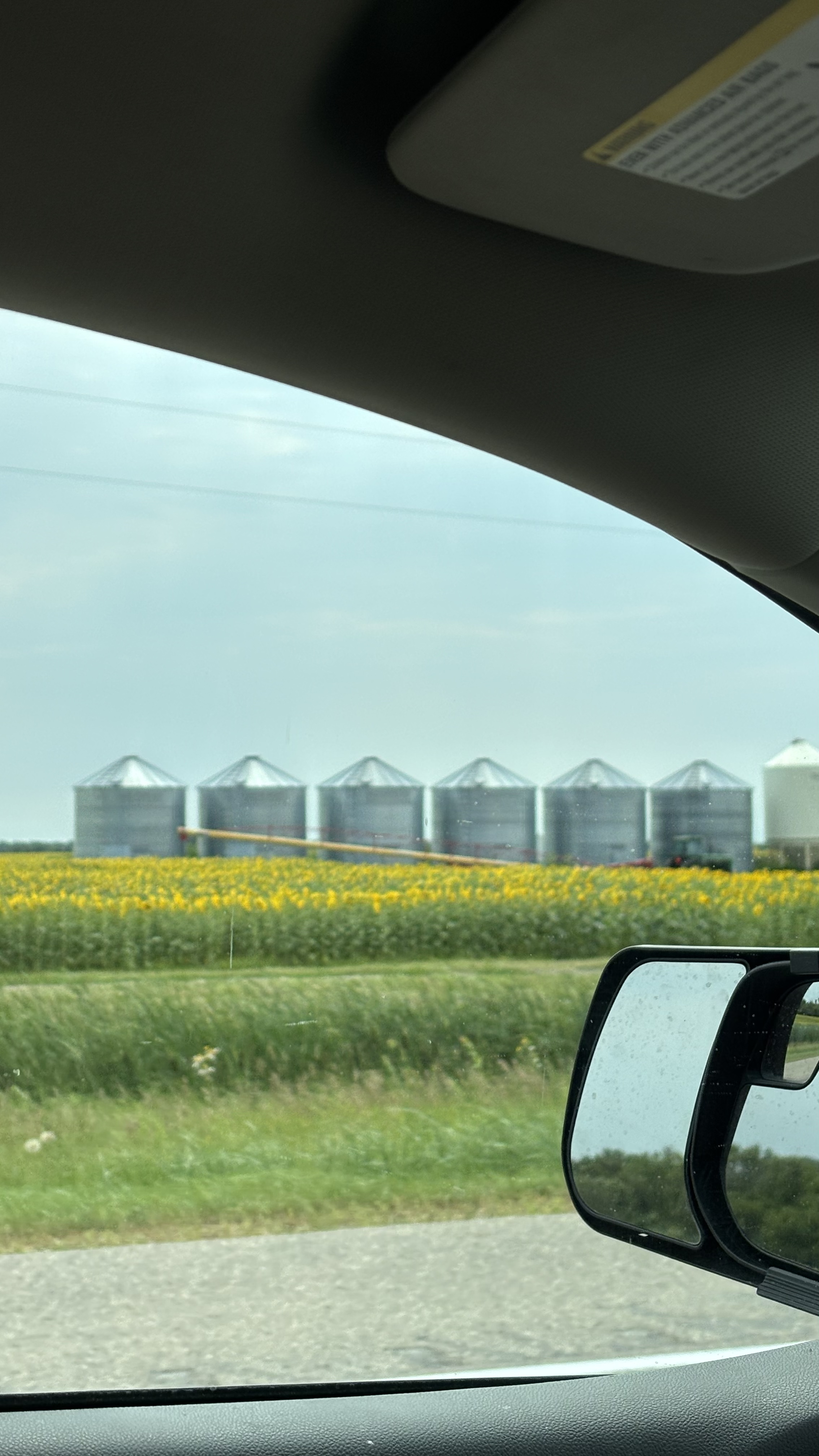
One thing that is missing from the landscape is the iconic prairie grain elevator. These have been replaced with massive steel grain bins or towering concrete silos. Not much character is modern farming.

MODERN GRAIN BINS AND ELEVATORS

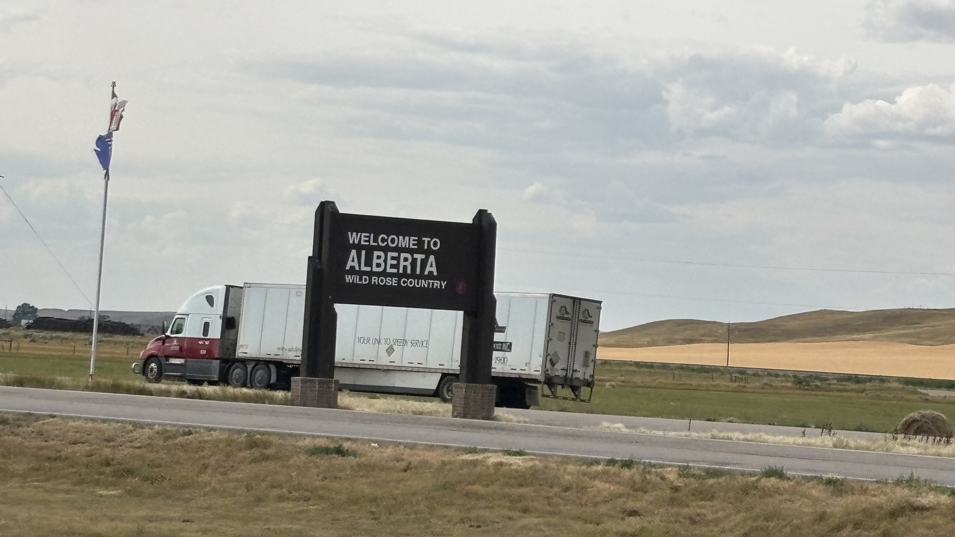
As we approach the Alberta border we see expansive solar arrays. Thousands of panels cover the fields. Cities and towns along the TCH in southern Saskatchewan consistently rank among the highest in Canada in average annual hours of sunlight. Estevan at 2,502, Swift Current at 2,411 and Regina at 2,374 hours of sunlight per year provide amble energy for the operation of these solar farms.

ONE DAY PERHAPS A FENCE AND A CONTROLLED ENTRY POINT?
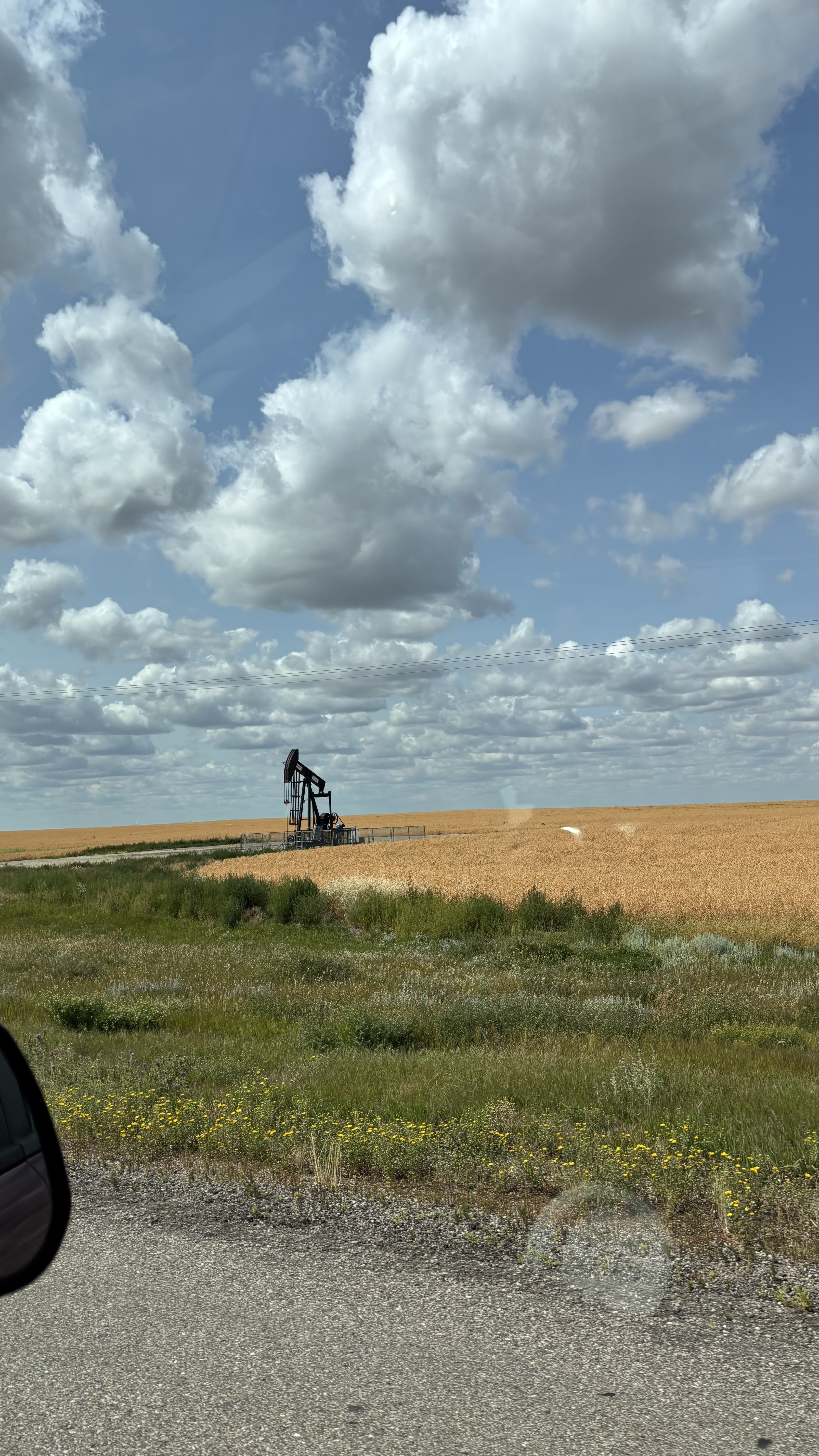
Once into Alberta a more traditional form of energy becomes evident. Pump jacks, pumping black gold into the coffers of energy companies and provincial and federal governments. And they all seem to be operating. At around $63 per barrel for Western Canadian Select, why not?

BLACK GOLD IN THEM THAR HILLS AS WELL

At one point I espied an innovative and somewhat ironic use of a small solar array. The electricity produced by the panels seem to be powering the nearby pump jack.

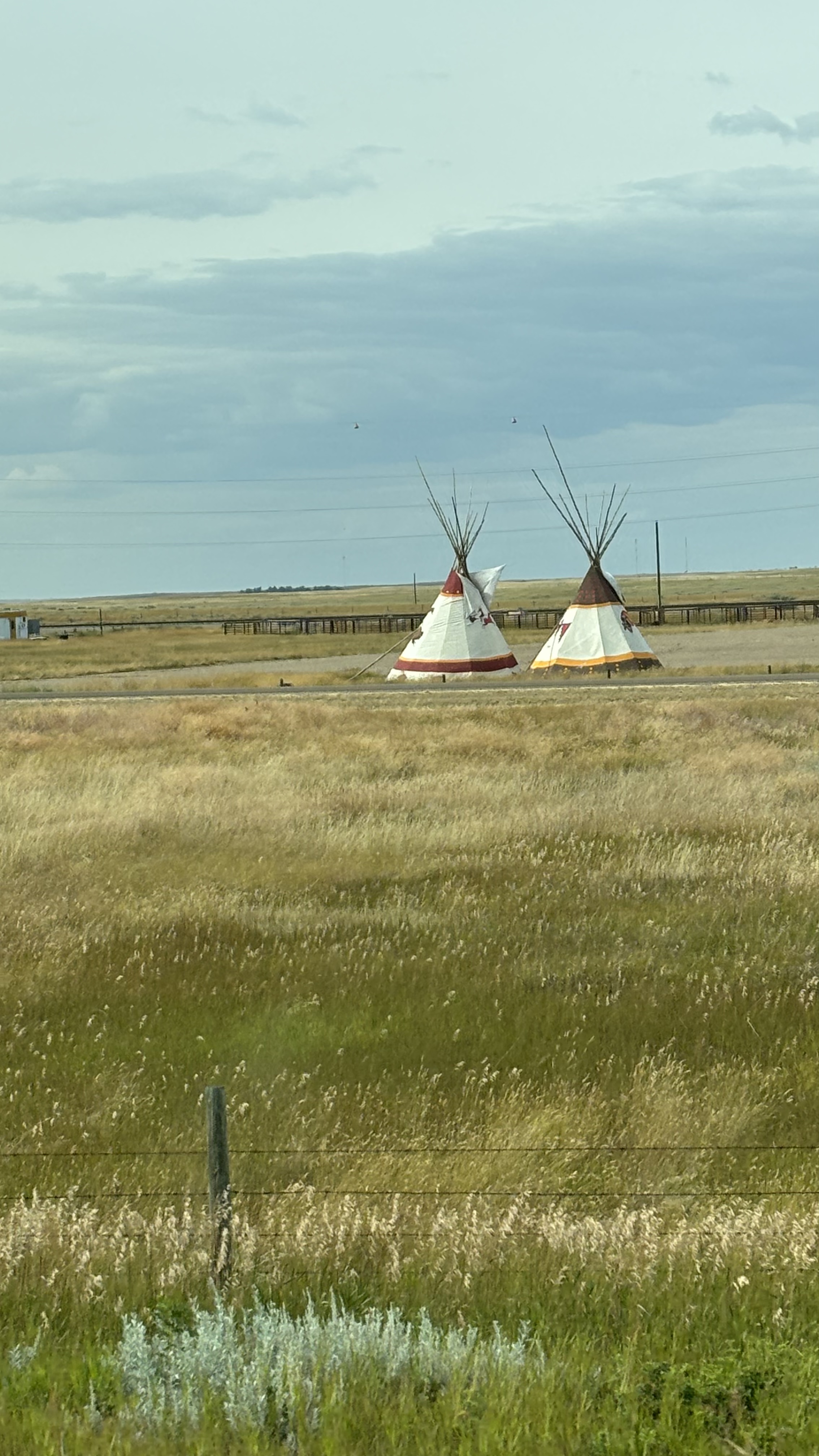
On we go to Medicine Hat for the night. Again, the area had been used for millennium by First Nations people and was known as Saamis or “Medicine man’s hat”. The name makes reference to the Blackfoot legend of the “Holy Bonnet” where a young tribe member saved his people from a devastating famine. The modern settlement was founded in 1883 when the CPR arrived and a camp was set up for the workers building the bridge across the South Saskatchewan River. That same year, while searching for water, drillers accidentally discovered a vast reserve of natural gas. Now known as “Gas City” it was once home to brickworks, glass factories and potteries due to the local clay deposits.

SAAMIS TEEPEES

The next day we arrive in Calgary for a short visit with our daughter Lindsay and then off to southern Alberta for the weekend at her RV in Glenwood, a small hamlet near Pincher Creek and Waterton National Park. Stay tuned for my next epistle about the weekend.

LAND OF 100,000 LAKES              

The state of Minnesota brags on their license plates that it has “10,000 Lakes” HAH! That’s nothing. There are over 100,000 lakes in Manitoba. Water covers approximately 15% of the land mass of Manitoba. Heck even its name refers to water. Near a place called “The Narrows” on Lake Manitoba, a strong wind can send waves crashing into the limestone rocks of Manitou Island, causing a booming noise. Legend has it that this booming sound was the Great Spirit Manitou sounding his drum. The Cree and Ojibway name of the Narrows was Manito bau or Manitob-bau meaning “straits of the Great Spirit”. When Europeans arrived they adopted many of the place names of the indigenous people and the legend inspired the name of the province.

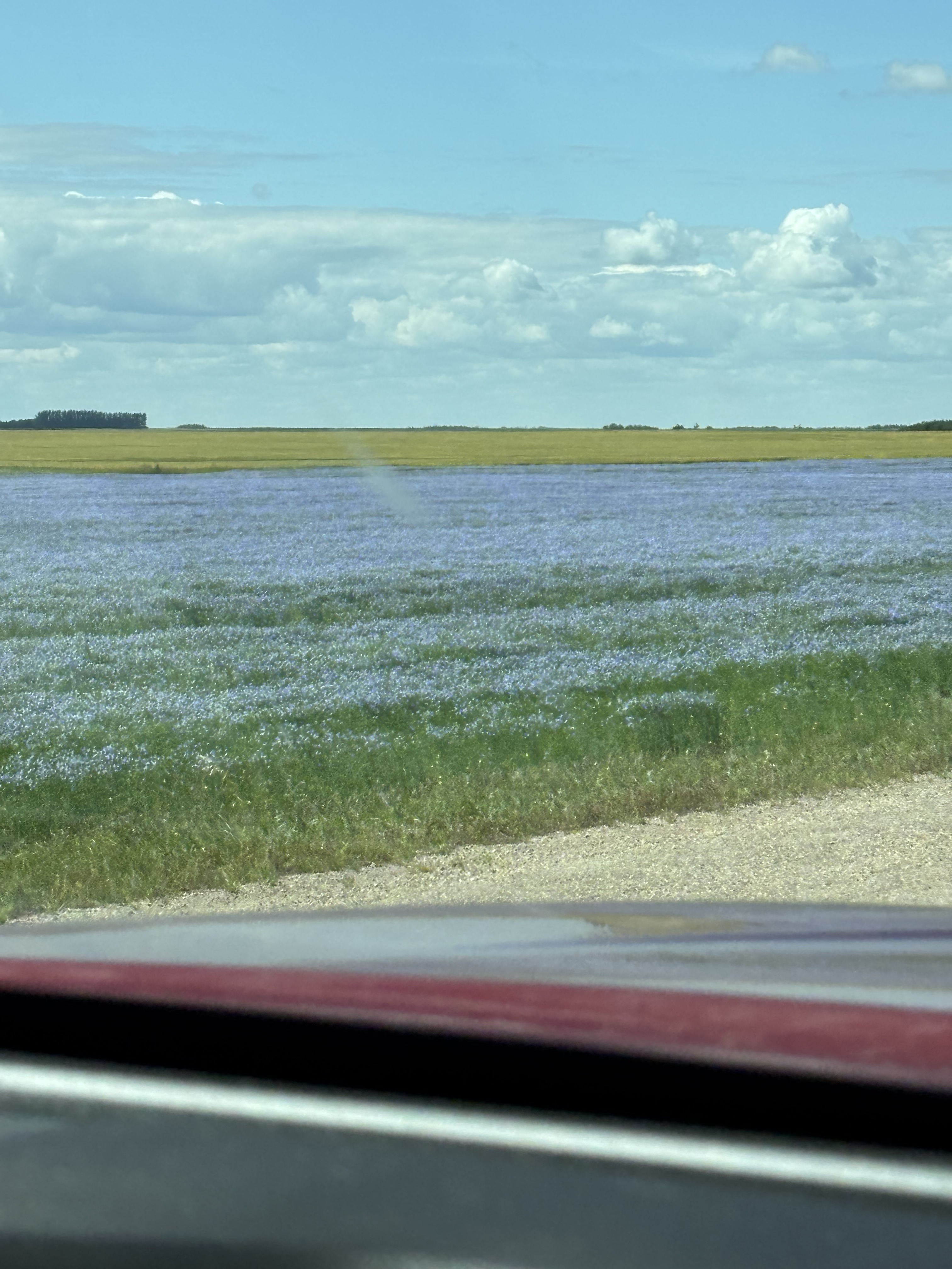
After leaving “VB” we head south with our original destination to be Saskatoon. Turning northwest onto Highway 16, The Yellowhead, we decide that Russell Manitoba will be our layover for the night. If you thought Saskatchewan is flat, this part of Manitoba northwest of Winnipeg is really flat. Beautiful lush fields of grain; wheat, corn, canola, sunflowers and something purple which is probably flax. Spectacular. Truly the breadbasket of Canada. Looking at a map I really wish we had taken a different route. Highway 68 passes through right through The Narrows of Lake Manitoba on a 2600 ft causeway and a 891 ft bridge. Alas too far the go back.

FIELD OF FLAX

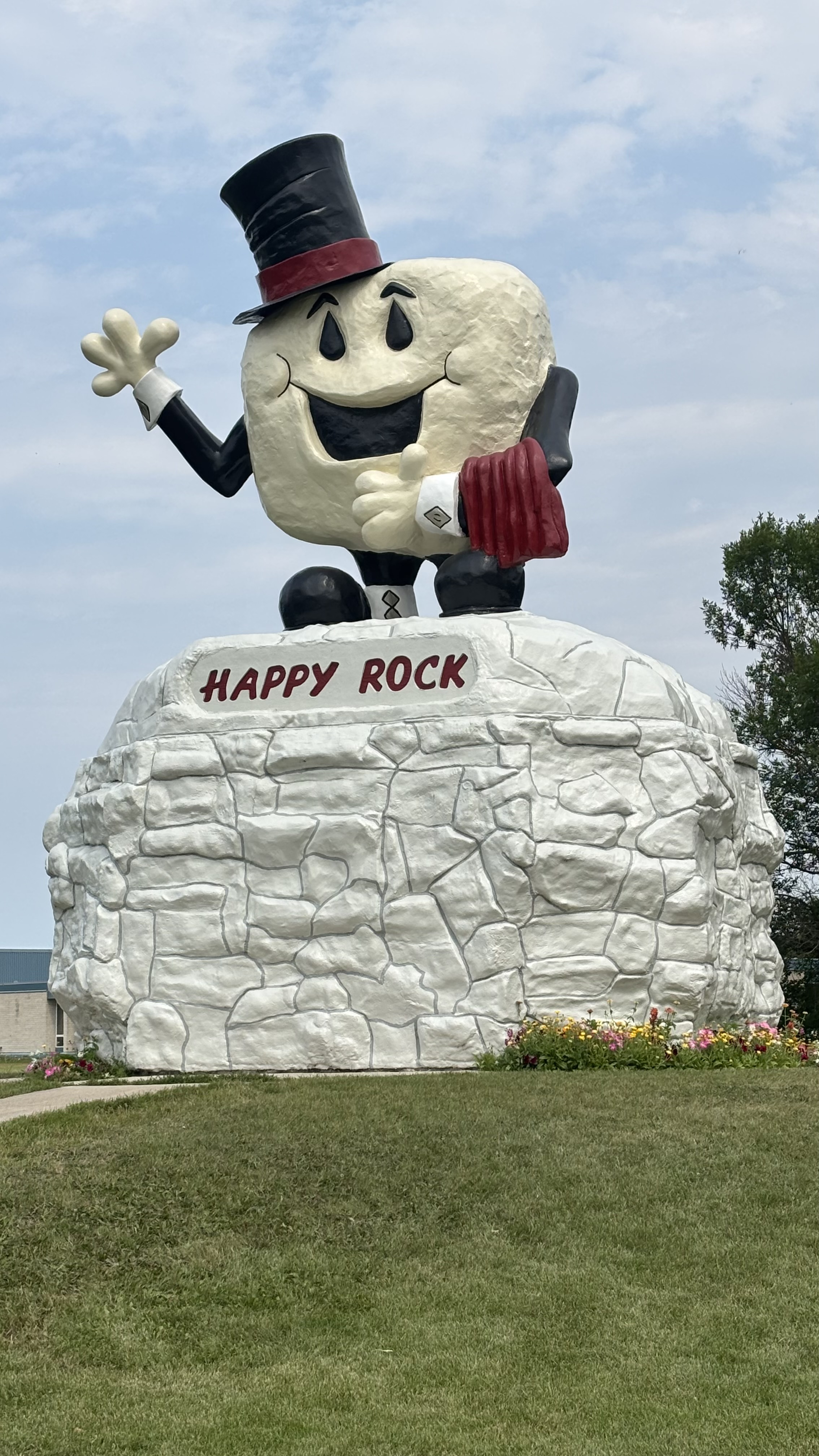
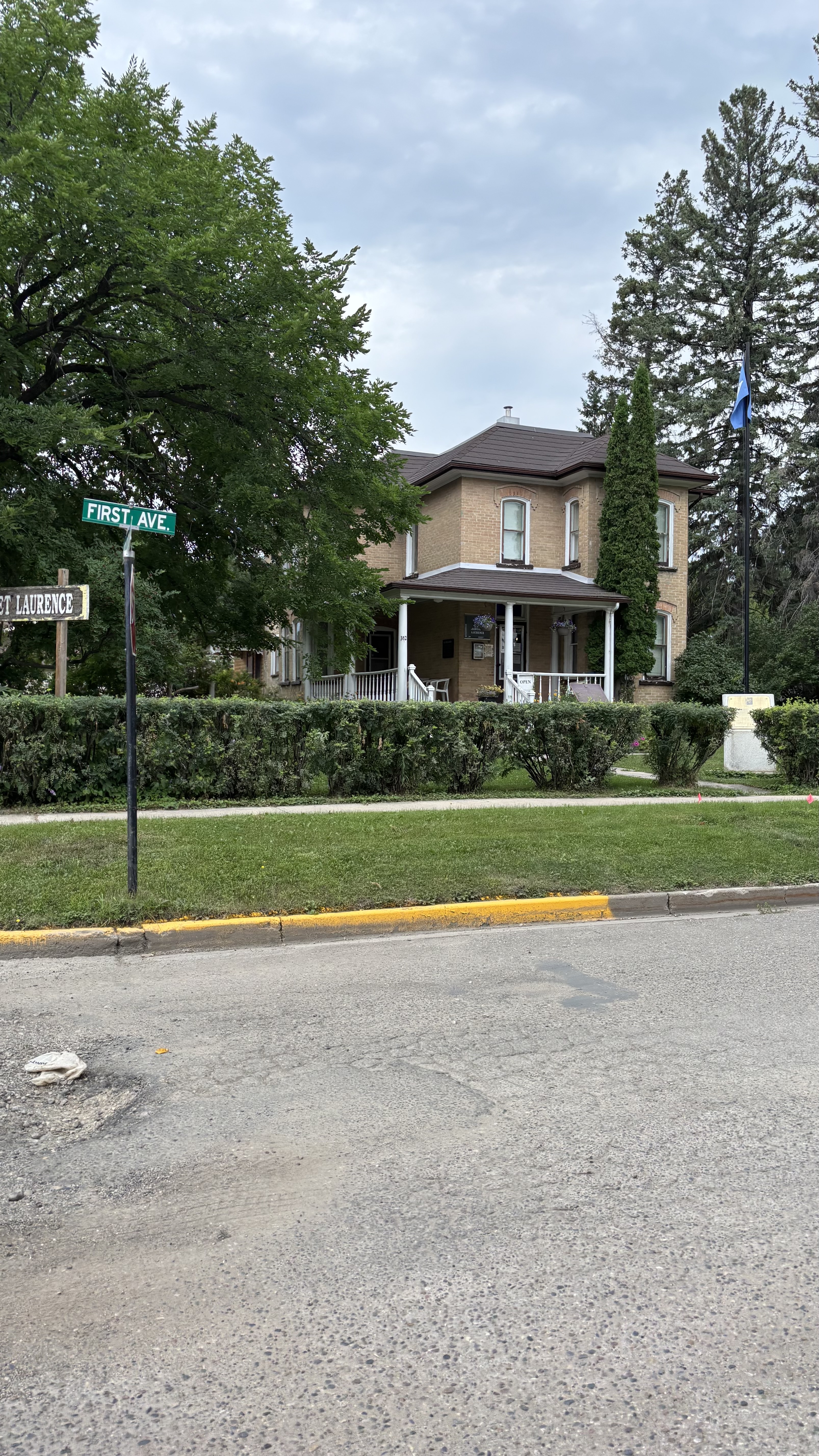
We continue on. At the little town of Gladstone MB, we come upon Mr. Happy Rock. Well, we just had to stop and take a pic. Next was the town of Neepawa, home of the Neepawa Titans of the Manitoba Junior A Hockey League and the birthplace of Margaret Laurence, noted Canadian writer. She is best known for the Canadian classic, The Stone Angel. We followed a sign that led us past her original home. Her final resting place is also here.

MARGARET LAURENCE HOME IN NEEPAWA MANITOBA

After leaving Russel the next morning, we decided that Saskatoon didn’t have much appeal at this point of our journey and perhaps we should start to head for home. Turning southwest we headed for Regina where we would lay our heads tonight. Two more nights on the road then Calgary for the weekend then home next Tuesday.

GATEWAY TO THE WEST     

We arrive in Kenora and head for the Anicinabe (I know, they spell it wrong) Campground where we stayed on the way east and hunker down for the night. We rise to a beautiful, sunny morning; the sun glinting off the lake. I enjoy me tea in a sunbeam watching the boats return from the early morning fishing. We pack up and head out. Today’s destination, Victoria Beach, Manitoba to visit long time friends from Calgary who have been inviting us to their lake home for years. A great opportunity is at hand.

As we cross the Ontario/Manitoba border I get a feeling that I am nearing home, back on the prairies even though the landscape is pretty much the same as the last two days: lakes, rocks and trees. I sense that we are on the cusp of a new land and we are at the gateway to this land. I have been watching the mileage posts as we travel westward, the numbers on the signs going steadily down as we near the border. We have traveled 2,105 kilometers since Kingston with about another 2527 kms to go. We are about halfway home.

As we cross the border we leave Highway 1 and head up Provincial Trunk Highway (PTH) 44. As we motor along I notice a sign that says “Historic Highway 1” Intrigued I ask Vicki to look it up. This was part of the original alignment of the Trans-Canada Highway that went northeast rather that southeast of Winnipeg and joined up with a Depression Era highway that went to Kenora. The modern alignment came about as a result of the Trans-Canada Highway Act of 1950 and was fully completed in 1962.

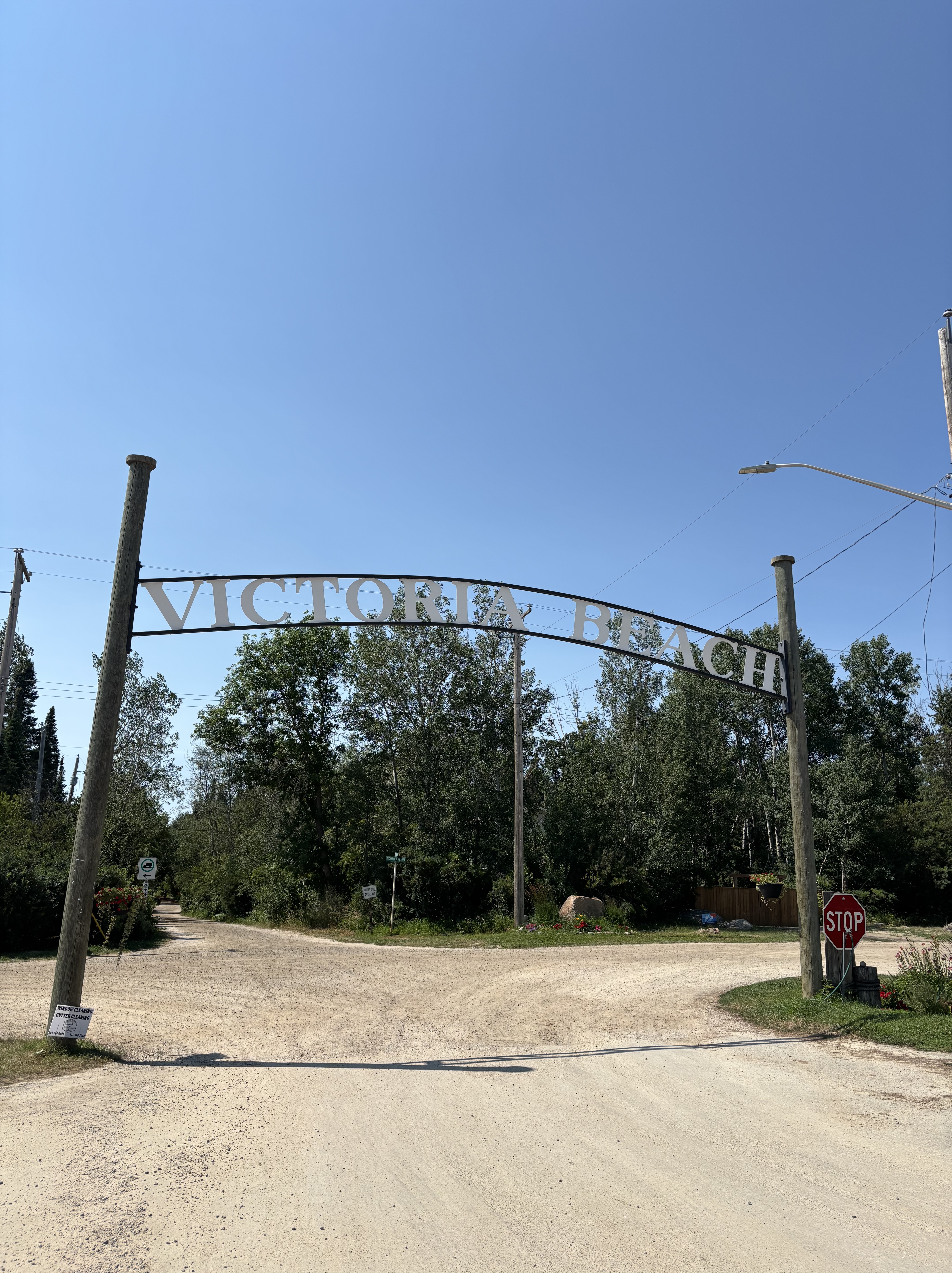
We continue to up through Beausejour and then northward to Victoria Beach, passing signs that said, “Island Beach”, “Whitesand Estates”, “Grand Beach” and finally “Victoria Beach”. We have heard of this magical place for many years from Calgarians and Manitobans. Everyone we know or knew from here could tell you stories of Victoria Beach. Inhabited for millennia by indigenous people, it was Winnipeg entrepreneurs who saw the potential as an exclusive summer retreat for wealthy Winnipeggers and laid out plans for a summer village  in 1910. In 1916 the railway arrived and Victoria Beach developed into a traditional middle-to-upper class Anglo retreat.

ENTRY TO THE VILLAGE OF VICTORIA BEACH

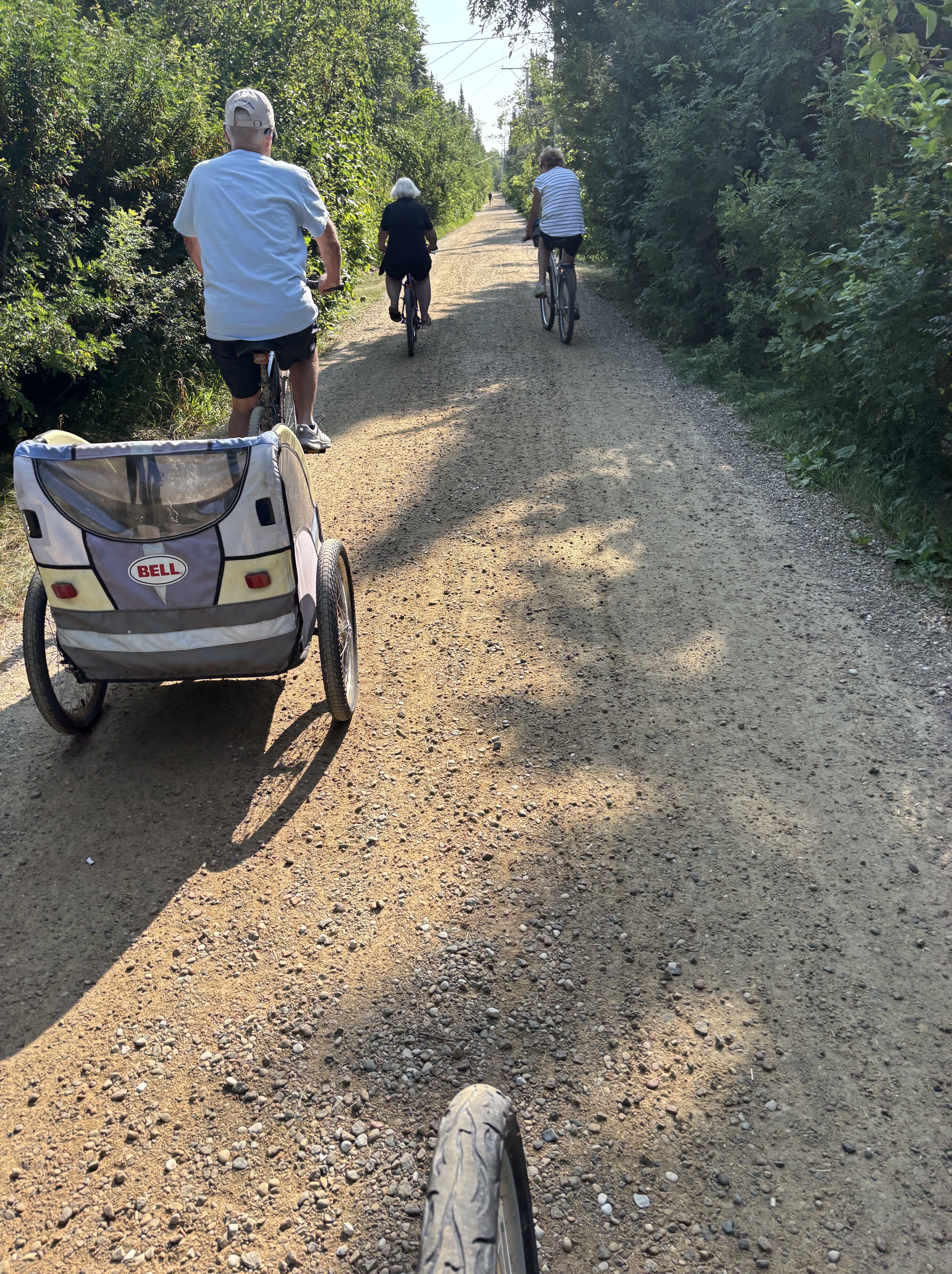
By 1962 a roadway from Winnipeg was completed and the automobile completely took over from the train which ceased to run shortly after. Today, the residential area of the village is a “restricted area” which bans private cars. To get to and from your car (which remains in the large parking lot) you either walk, ride a bike or take a “taxi”, a service run by the same group that run the parking lot. It is very quiet, the stillness punctuated by the occasional “ding, ding “of a bicycle bell signalling a desire to pass.

ESSENTIAL MODE OF TRANSPORTATION

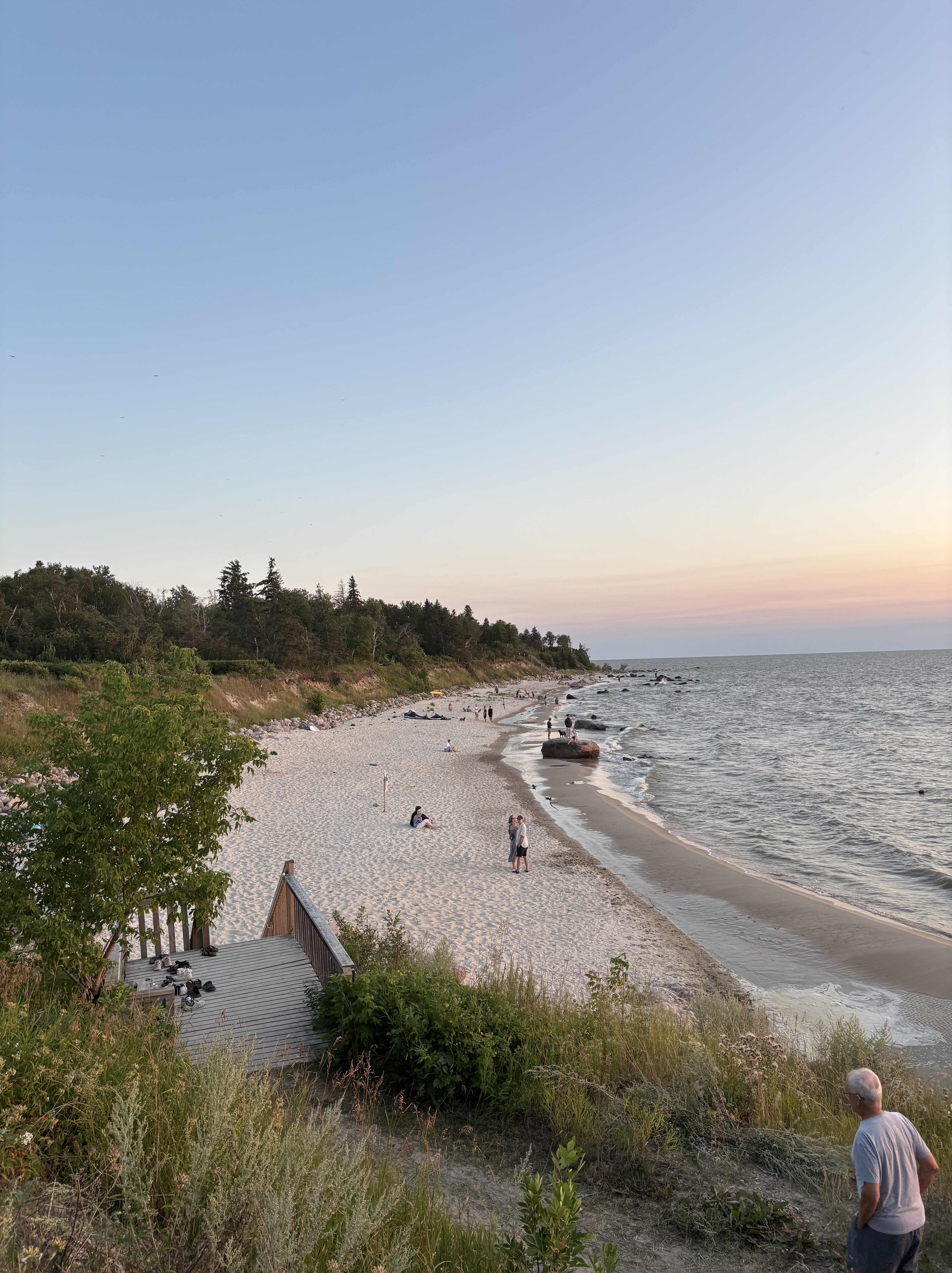
THE BEACH AT ALEXANDRA STAIRS

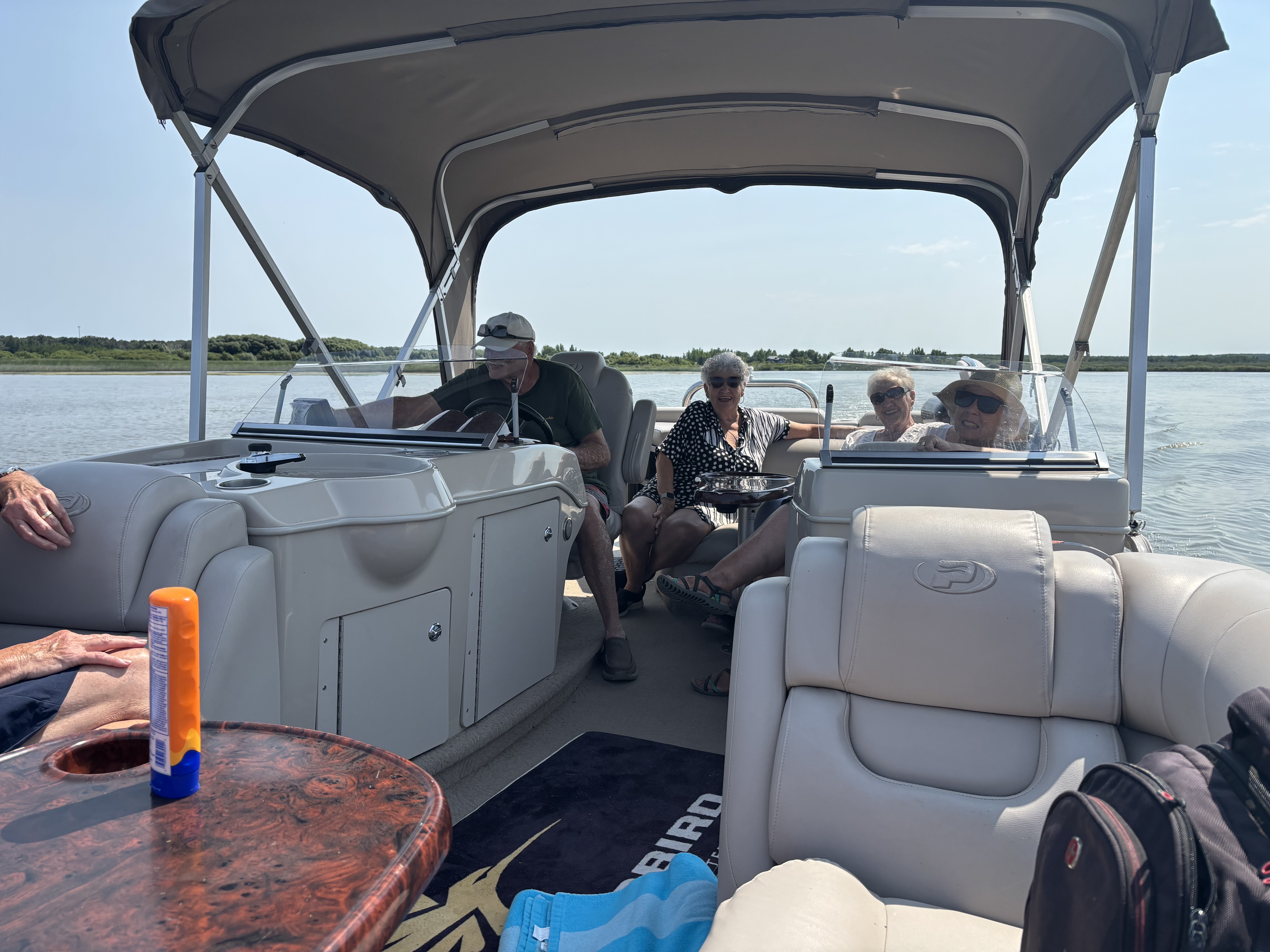
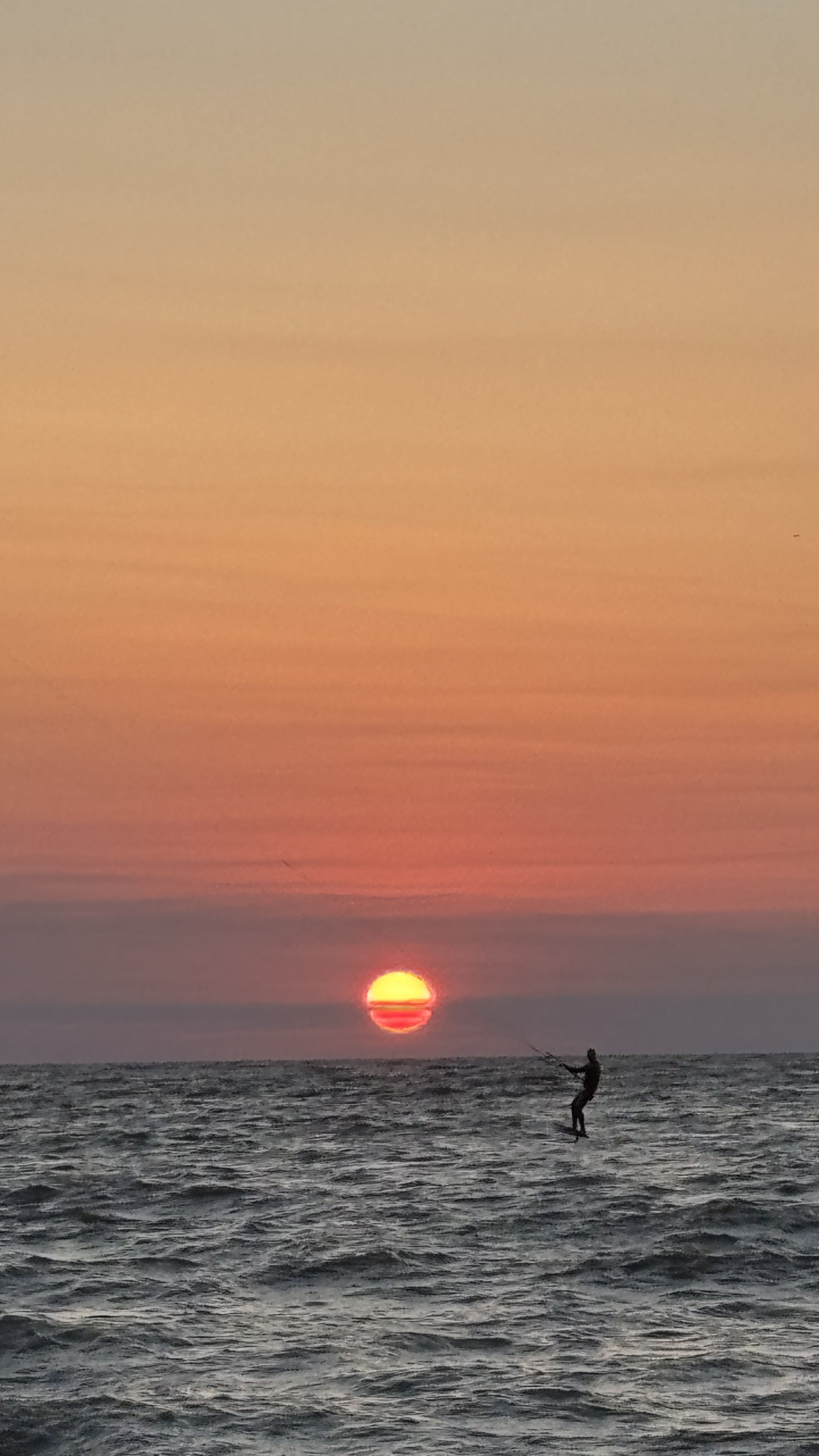
We have enjoyed a spectacular weekend with our friends. “August Long “is a very busy time at “The Beach”. Saturday morning market, a jewelry show and sale, big tennis tournament. Lots of activities to keep one occupied. We went for a pontoon boat ride with some new friends, had a swim in a quiet bay with a lovely sandy beach, and visited Einfield’s bakery for some delicious cinnamon bread. It is great toasted with homemade saskatoon berry jam. Down to the beach after supper for a beautiful sunset then rinse and repeat the next day.

PONTOON BOAT EXCURSION

SUNSET AT “THE BEACH”

Alas all good things come to an end, and it is time to move along. Thank you, dear reader, for joining us on this journey. We really feel that we are in the home stretch. I booked our ferry trip to the Island tonight. That means our trip is really coming to an end. Another week and we will call the journey over. Take care and sleep well.

A DOUBLE STRAND OF PEARLS

We are heading home. Sunday morning we pull out of Kingston KOA and head northwest to Pembroke where we will intersect with Highway 17 coming out of Ottawa. The destination tonight is North Bay on the northeast corner of Lake Nipissing. Home of the Nbisiing Anishinaabeg (Nipissing First Nation) for thousands of years, European visitation first occurred in 1610 or 1611 with the arrival of Etienne Brule. It was further developed as part of the “canoe highway”, part of the core route for the fur trade. We spend a very pleasant evening in a campground along the La Vace River, an integral part of that route and head out again the following morning.

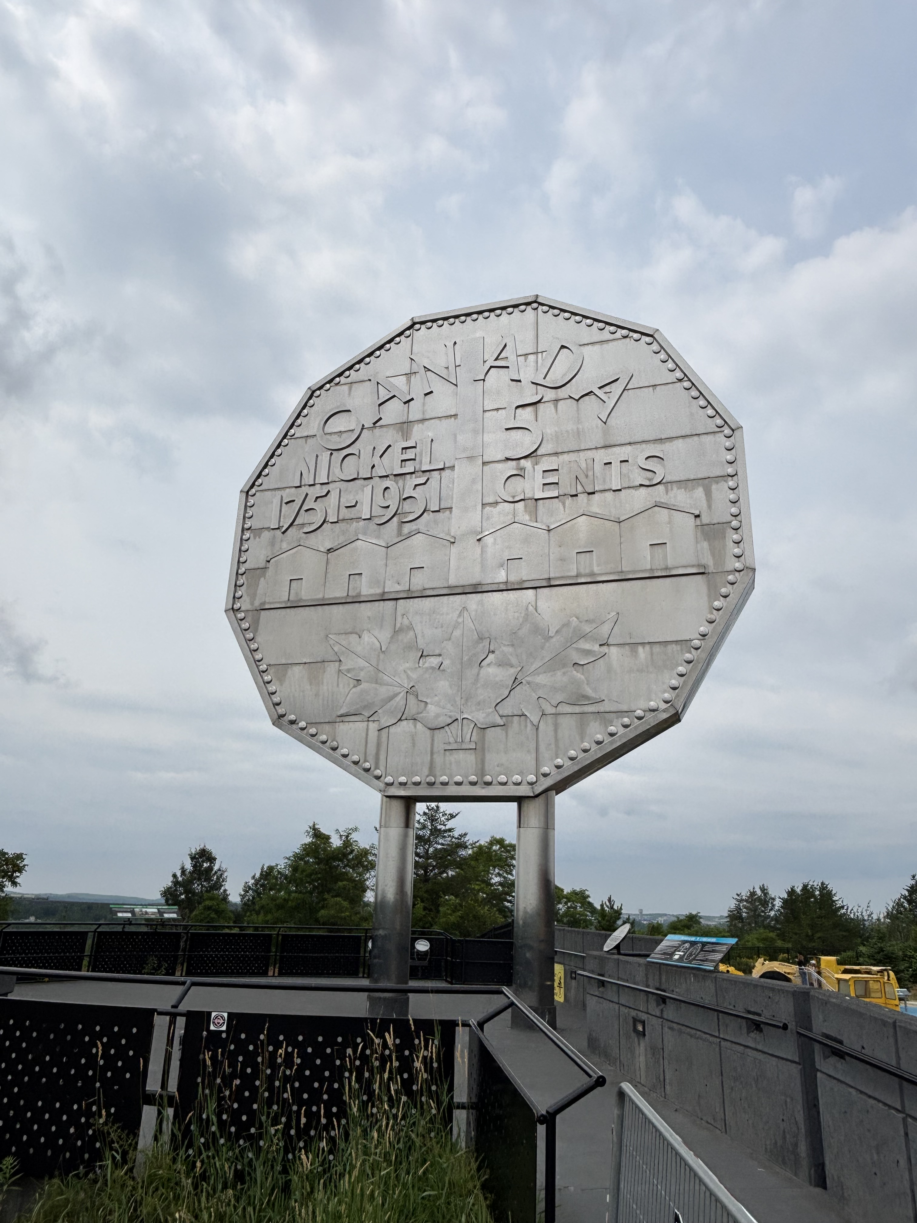
Todays destination is Sault Ste Marie, the point where Lake Huron and Lake Superior meet. Along the way we pass through Sudbury, Canada’s nickel Capital and home to the “Big Nickel”  A requisite stop for anyone heading this way, The 13,000 kg monument is a replica of a 1951 Canadian 5 cent piece and was built is 1964 to symbolize the wealth that Sudbury has contributed to the Canadian economy. It is located at the “Dynamic Earth” , an immersive, hands-on science center and commemorates the 200th anniversary of the identification of the element Nickel. It also happens of be the year of my birth.

THE BIG NICKEL, SUDBURY

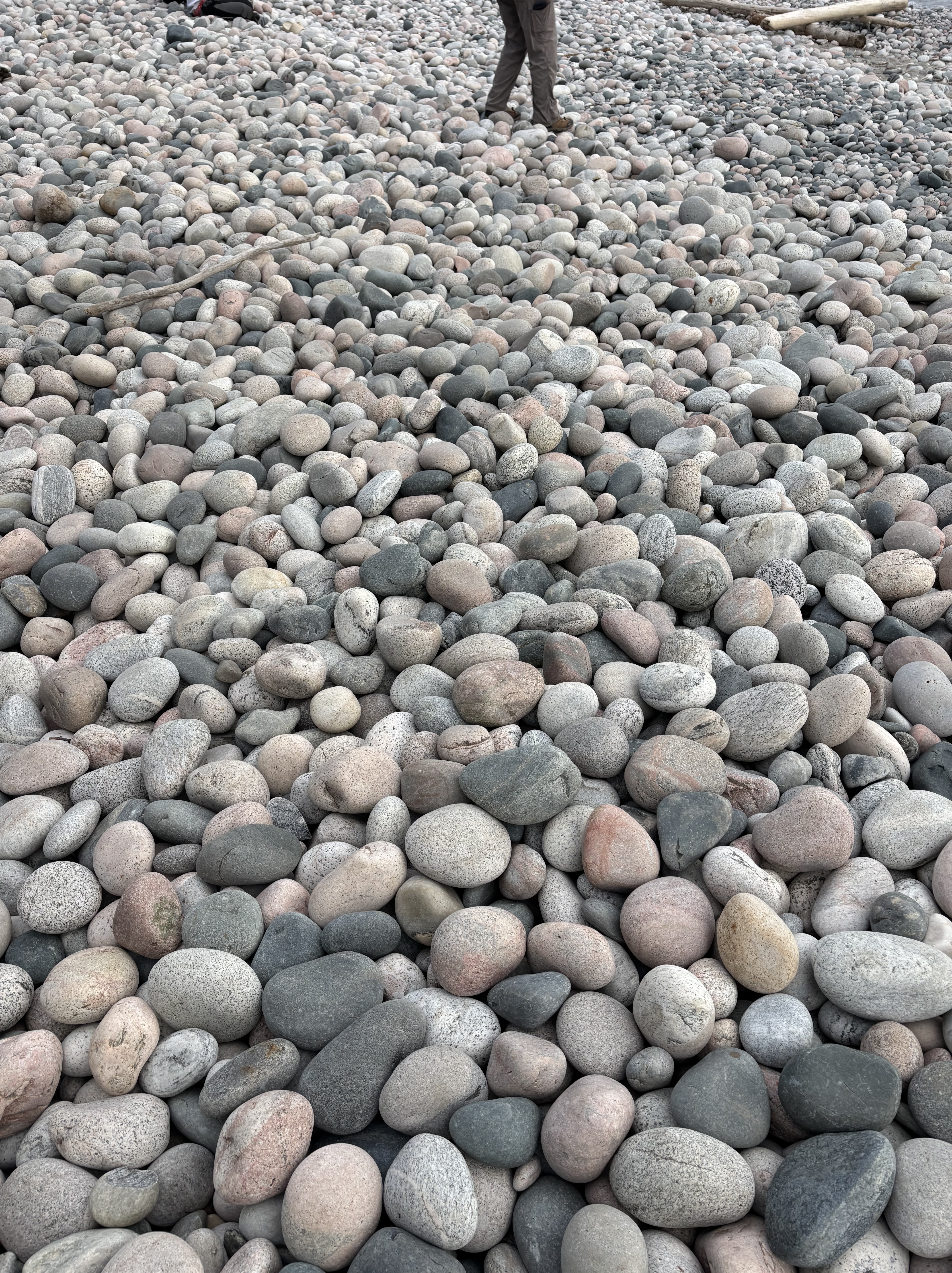
After a peaceful night in Sault Ste Marie it’s off up the highway, next camp-over in Marathon. Marathon’s motto. “built on paper and laced with gold” makes reference to it’s pulp industry and more recently to the famous Hemlo gold deposit. An interesting attraction is it’s well known “pebble beach”. This is a two kms stretch of Lake Superior shoreline covered with smooth, multi-coloured rocks of volcanic origins, it consists of granite as well as semi precious quartz and agates. Very pretty and unique.

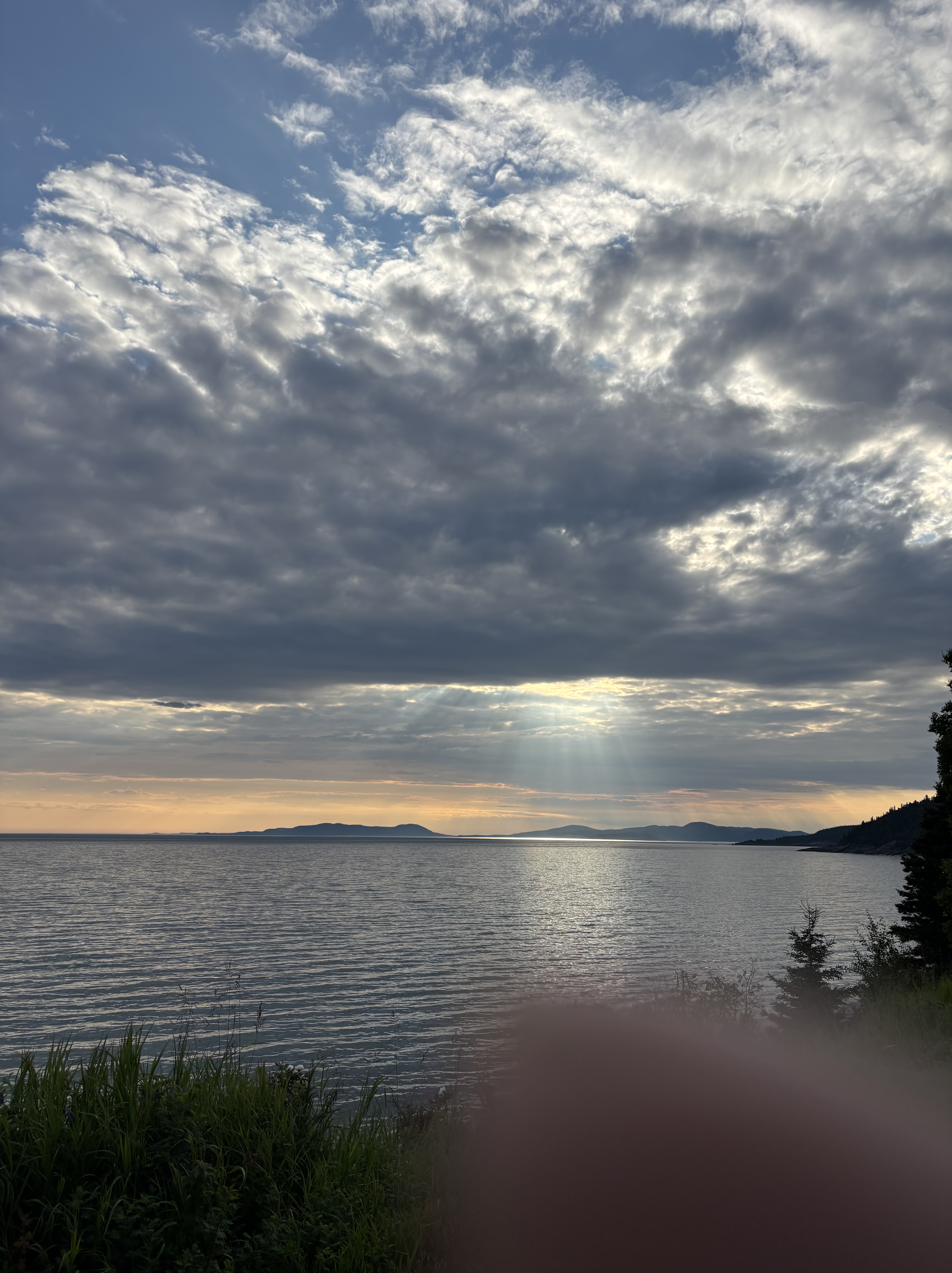
LAKE SUPERIOR VIEWS LOOKING SOUTH

PEBBLE BEACH, MARATHON

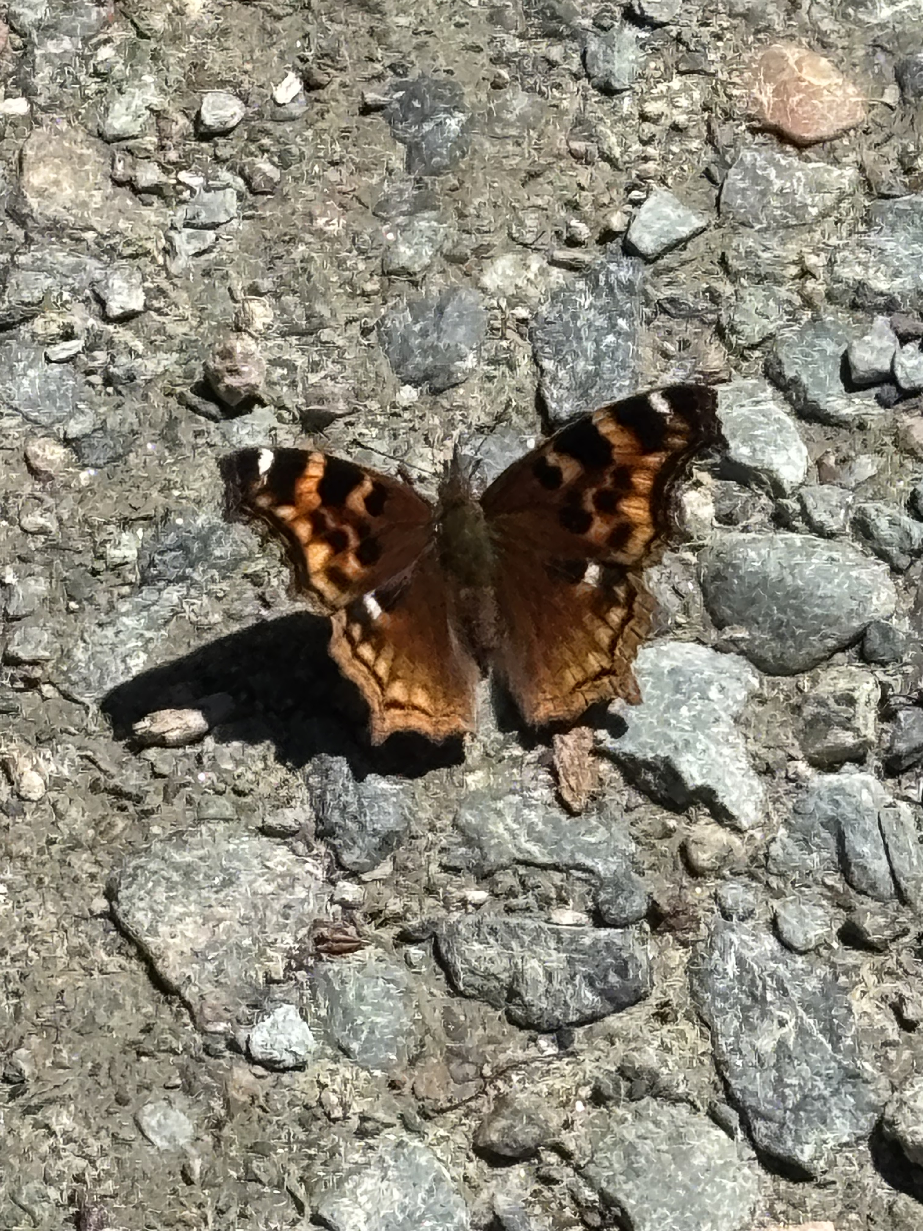
A way along the north shore we pull into a viewpoint for a panoramic looksee at Lake Superior. We have noticed a large number of Monarch butterflies. Apparently this area is the northern limit of the summer range of the butterfly, feeding and laying its eggs among the milkweed plants that inhabit the ditches along the highway. I managed to get a pic of one of them that sat still long enough for me to capture it. Note: this is an edit. This is not a monarch butterfly but a NYMPHALIS. Still lots of them around.

NOT A MONARCH, ALL THE WAY FROM MEXICO, BUT A NYMPHALIS

Our destination tonight is Thunder Bay. I have noticed on the map that really the only two ways through this part of the country is either Highway 17, the southern route, or Highway 11, which leaves Highway 17 at North Bay, heads up north to Cochrane, arches northwestward and rejoins Highway 17 just east of Thunder Bay. As I look at these highways on a map, my imagination likens them to a string of pearls, with the small towns as beads on the strands.

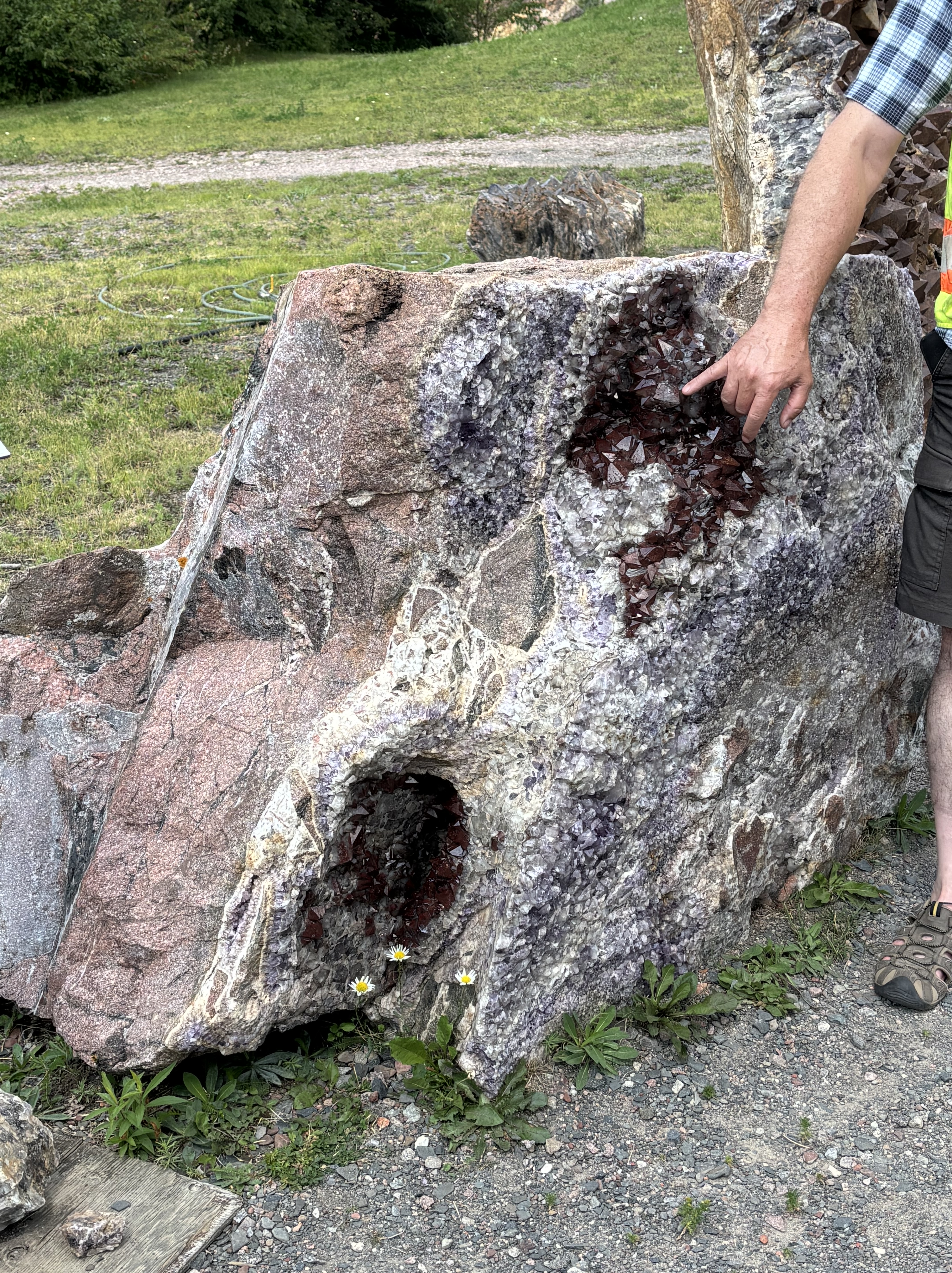
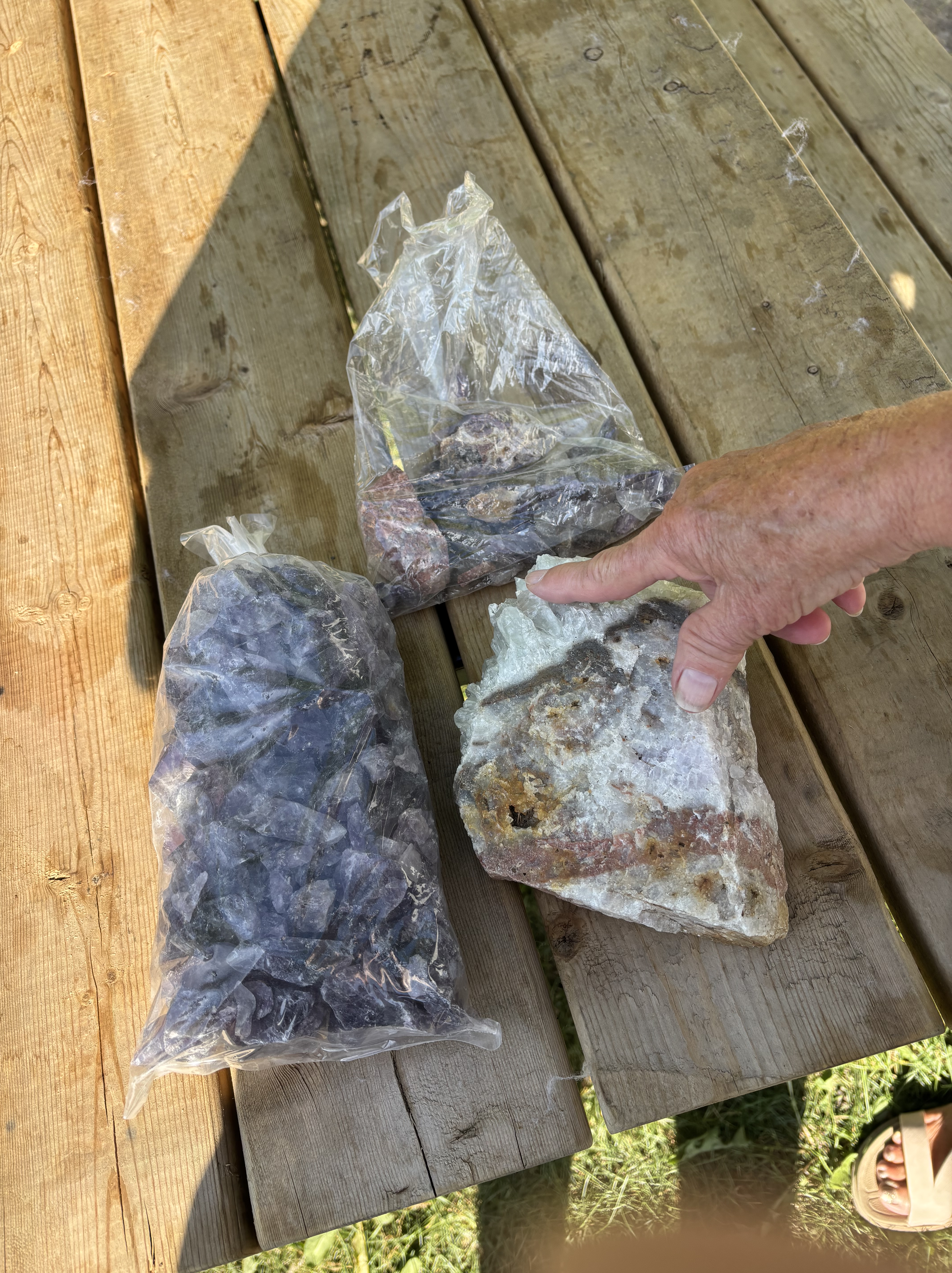
Speaking of beads, along this stretch of Highway 17 there are a number of amethyst mines. Curiosity gets the better of us and we pull of the highway to check it out. Eight kms later we pull into the mine site, people clamouring over the hillsides, carrying red plastic buckets and reaching down to scour the ground around them. We go inside and sign up for a tour. Very fascinating. This seam of purple quartz was discovered in the early 50’s during the construction of a fire tower. The bulldozer uncovered an outcropping of brightly coloured rock and the rest was history. Not much commercial use for amethyst apparently, mostly jewelry as it is considered semi-precious. It is also Ontario’s provincial mineral. Of note, a big block of amethyst forms the base of the Terry Fox monument a little further west. The people cavorting on the grounds of the mine site are literally picking amethyst off of the ground. It is weighed and can be purchased for $6 per pound. Not a mountain of wealth for sure. I bought $50 worth of multi coloured quartz, one piece big enough to be used as a door stop at our front door.

GRANITE BOULDER WITH A “VUG” FILLED WITH AMETHYST

$50 WORTH OF QUARTZ

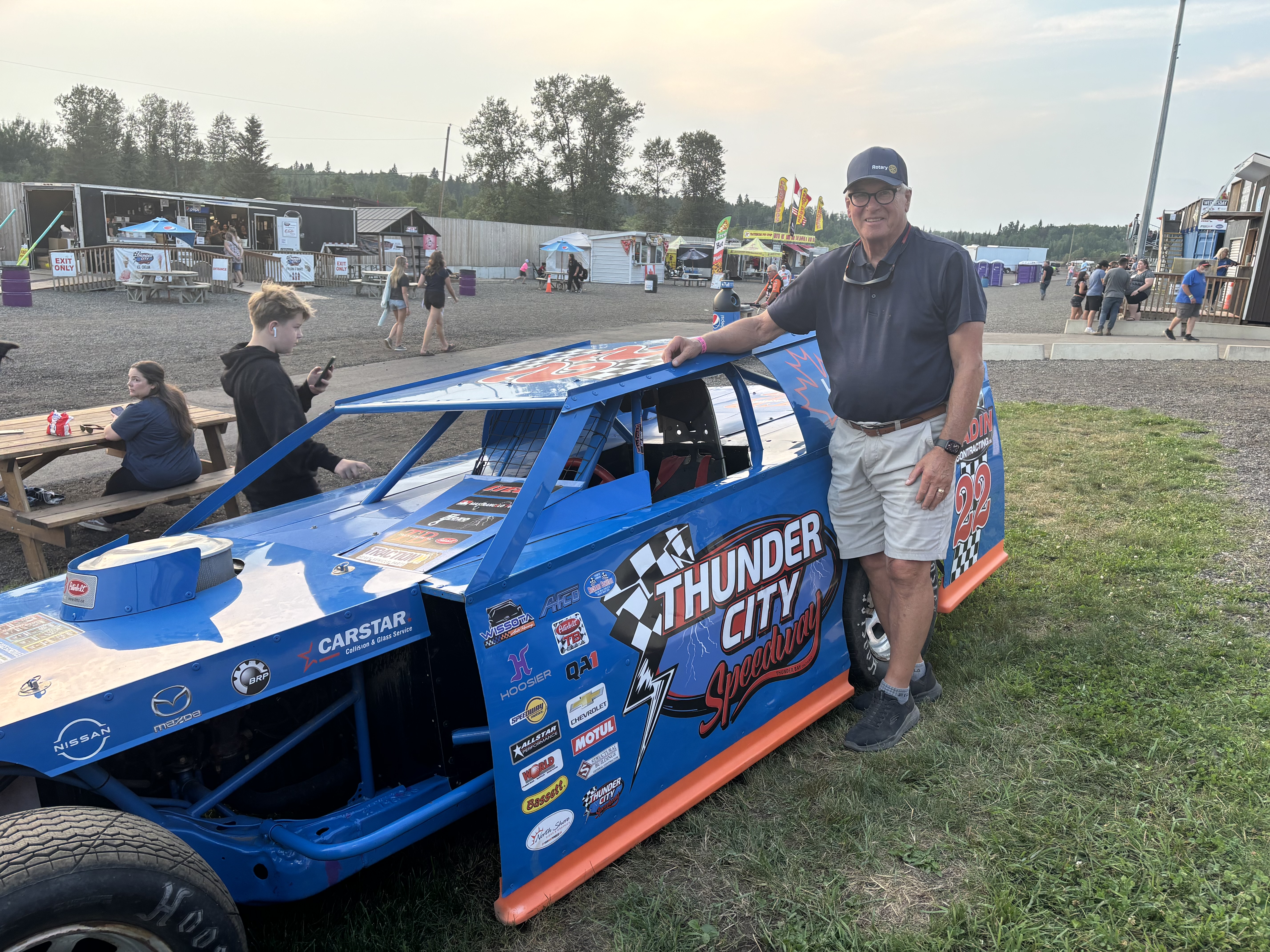
We are soon in Thunder Bay and bedding down for the night. It has been very hot today; +34 and humid. As we head west out of town to Kakabeka Falls area to a campground, I pass a sign that says “Thunder City Raceway”. “Oh what fun” I think. A great activity for a hot, humid, sultry summer night. We set up the trailer and head back to the raceway. We spend the evening with the smell of high octane racing fuel in our nostrils and the roar of unmuffled  Detroit V-8’s in our ears. Great fun.

IN MY WILDEST DREAMS

We are now in Kenora for the evening. Tomorrow is Victoria Beach on Lake Winnipeg.

KINGSTON, THE LIMESTONE CITY AND CANADA’S FIRST CAPITAL

We say goodbye to relatives in Vineland and make our way to the QEW for our trip to Kingston. The consensus is that “you’re crazy!” to be leaving at this time and expecting to get through Toronto on the 401 at the afternoon rush hour. “Take the 407” they tell me. Me, with the frugalness of my Scottish ancestors, (some would call it being cheap) at first decided to attempt the 401 because I did not want to pay the tolls on the 407. Well, if the volume of traffic on the QEW was any indication, the 401 would be a parking lot so at the first opportunity I exited the QEW onto the 407 and it was smooth sailing all the way to Whitby, east of Toronto. The “King’s Highway 407” is 151 kms long and arcs west, north and east of Toronto from Burlington to Clarington, north of the 401 at Newcastle. As I mentioned it is a toll road but I’m hoping that the license plate on my trailer is obscured enough that the cameras couldn’t read it. I am dreading the letter I am going to get with the final tally. Ouch!

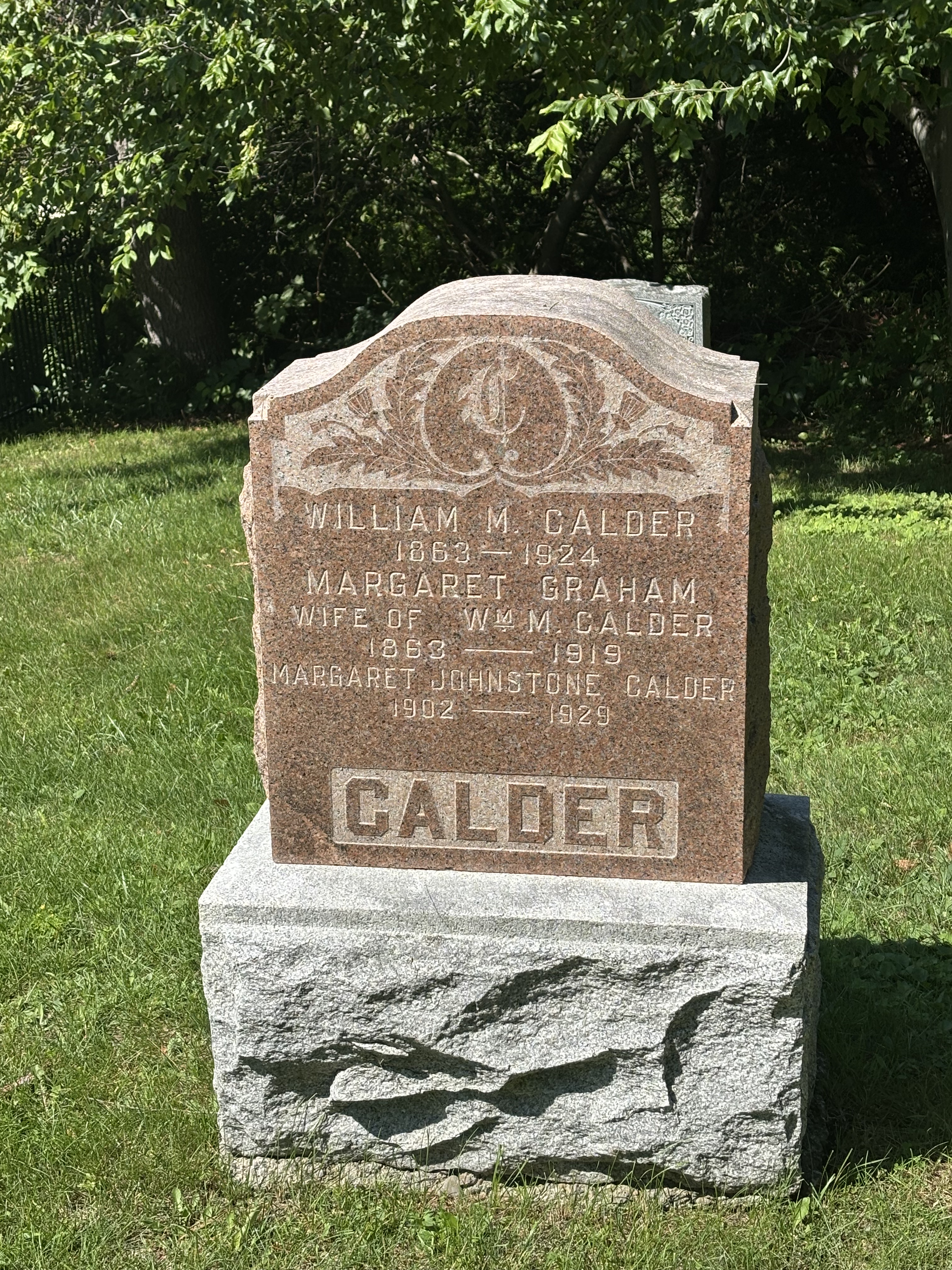
I mentioned my Scottish heritage, The first Calder of my ancestors was William Martin Calder who came to Canada in the 1860’s and settled in Grafton Ontario, about an hour and a half east of Toronto. Of course we had to stop and pay our respects. There are quite a few Calder’s in the Fairview Cemetery in Grafton. This one I know is my great Grandfather as I have a genealogy chart that goes back more than 10 generations. This was particularly meaningful given the time spent the previous weekend with lots of people whose last name is the same as mine.

MY GREAT GRANDFATHER

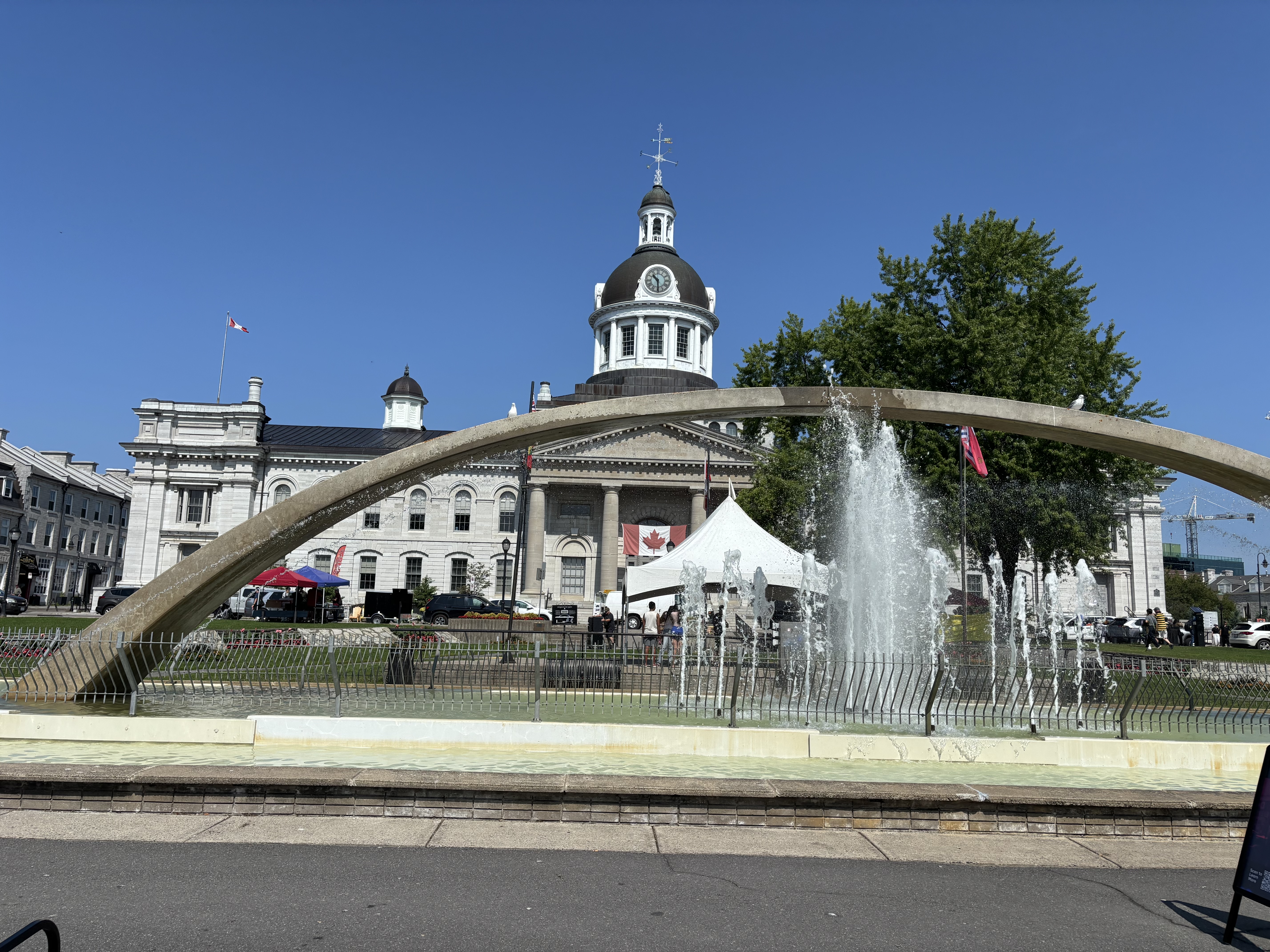
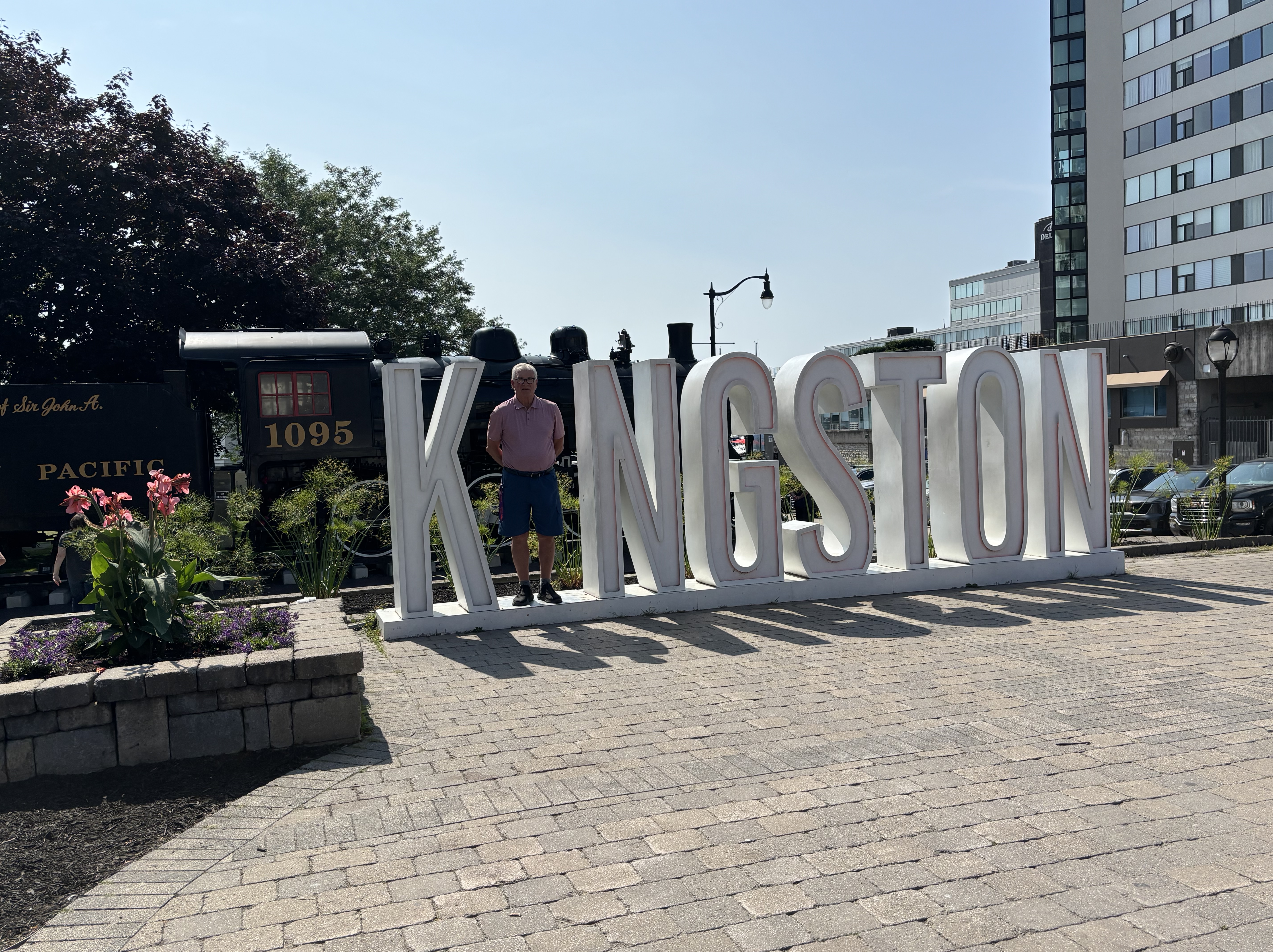
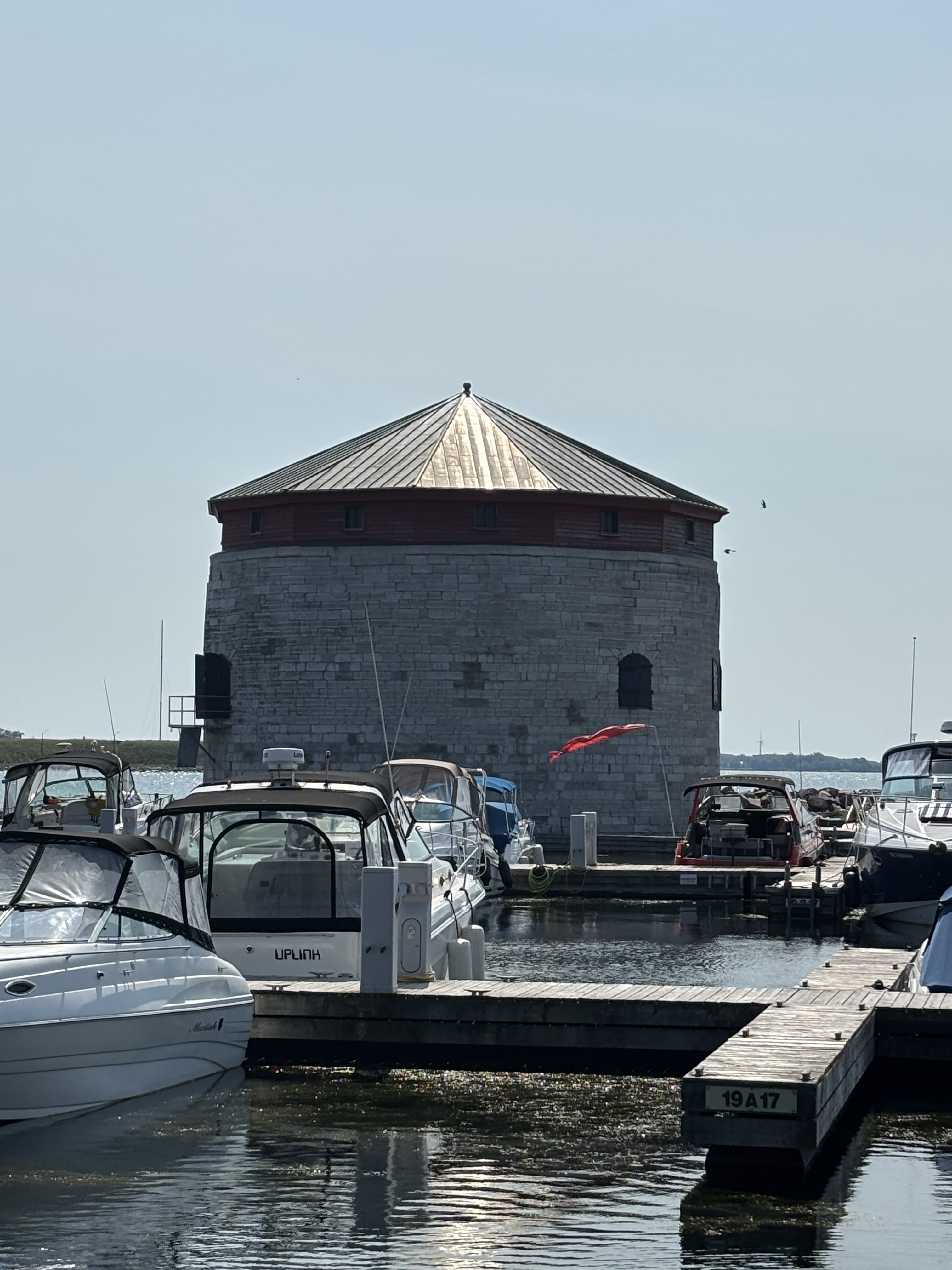
On to Kingston we go. Known as the Limestone City because of all the very well-preserved buildings constructed of the very abundant local limestone. We visit downtown Kingson on Saturday morning. Local farmer’s market offers an abundance of fresh produce and interesting handicrafts. The market is located behind the beautiful limestone City Hall which is on the waterfront at the mouth of the Catarqui River. This river provides the beginnings of the waterway that came to be known as the Rideau Canal. The canal was built between 1826 and 1832. It was built as a link between Kingston and Montreal far enough inland from the St Lawrence to be safe from attack from American forces. 1000’s of Irish immigrants and French-Canadian labourers built the 202 kms long canal and locks. In fact, the construction camp at “Bytown”, named after the British military engineer Colonel John By, was selected and renamed “Ottawa” by Queen Victoria as Canada’ s capital in 1857. Kingston had previously been designated as the capital from 1841 to 1844 when it was moved to Montreal. The mouth of the Cataraqui River and ultimately the Rideau Canal is guarded at it’s southern end by Ft Henry on the eastern shore of the river and by the Shoal Tower, a fortified Martello tower, on the western shore. These are now National Historic sites and well worth the visit if you are ever here.

KINGSTON CITY HALL

THE SHOAL TOWER, A MARTELLO TOWER AT THE MOUTH OF THE CATARAQUI RIVER

We spend a day visiting cousins as well as the house I was brought home to from the hospital when I was born. My cousin lives next door to the house my maternal grandmother owned for many years. I have spent much time here over the years and it was very nostalgic to visit. All good things must come to an end and now is the time to turn the truck northwestward and begin our journey home. We still have two weeks worth of travel and adventures, and I beg your indulgence a few more times over those two weeks. Good night for now.

SUCH A DEAL!

Toronto, the center of the (Canadian ) universe, has always been a place for deal making. Bay Street financial dealings, the Canadian Big Banks; it’s all here. In fact, Toronto started with a deal and such a deal it was. In 1781, 250,808 acres of land that now comprises most of Toronto and York Regional Municipality were “traded” for a mere 10 shillings and some trade goods consisting of 2000 gun flints, 24 brass kettles, 24 laced hats, a bale of flowered flannel and 96 gallons of rum. Now known as the “Toronto Purchase” the Mississauga First Nation believed they were “renting” the land to the British in return for some gifts, not extinguishing their rights to the land. The “deal” remained in dispute for over 200 years until 2010 when the parties reached a land settlement which saw a payment of 145 Million Dollars made by the Canadian government to the Mississaugas.

The name “ Toronto” has interesting origins. The French fur traders had established Fort Rouille in 1750 on lands that had been occupied by various First Nations for centuries. These First Peoples used the area as a “portage” known as the “Toronto Passage” to get from the mouth of the Humber River on Lake Ontario to Georgian Bay and lands further north and west. The name “Toronto” is derived from the Mohawk word tkaronto which means “where the trees are standing in the water”, referring to a fishing weir area with tree stakes in the narrows between Lake Simcoe and Lake Couchiching. The name migrated southward on colonial maps to the place we know as Toronto today.

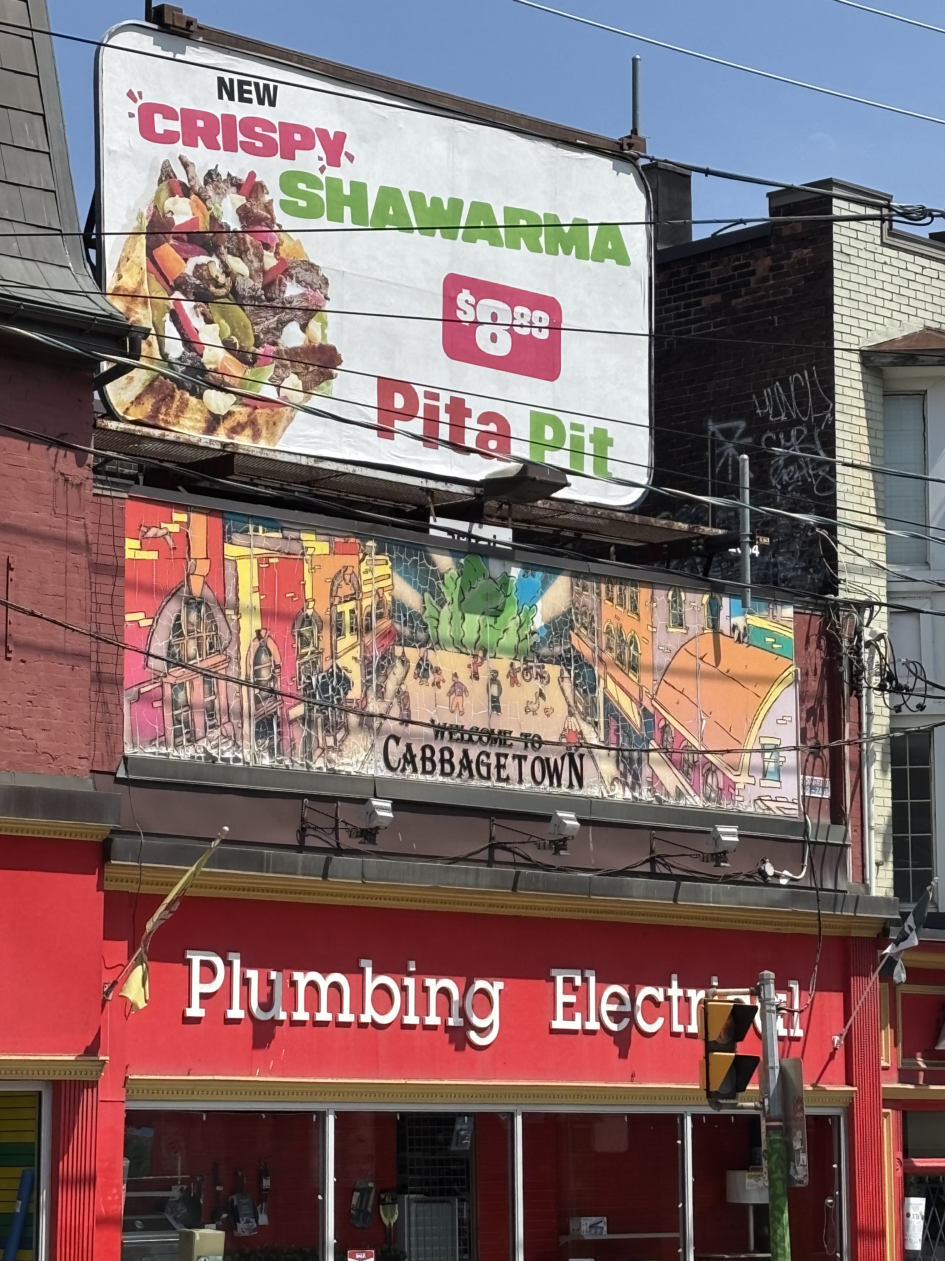
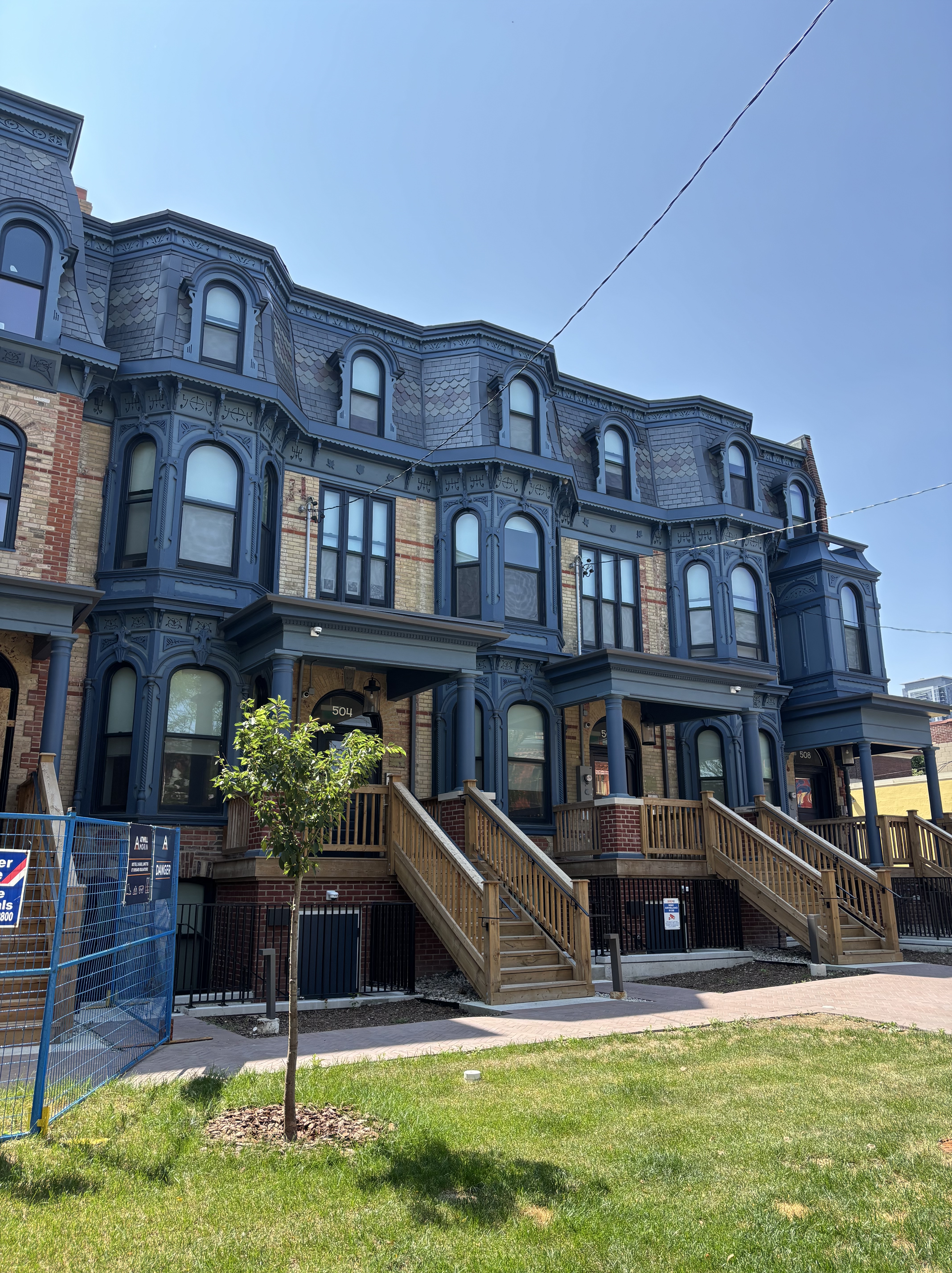
After a wonderful weekend with relatives we make our way to Toronto. We have booked a 5 bedroom Airbnb in Cabbagetown, north and east of the Central Business District. Called Cabbagetown by the wealthier residents of Toronto, it was a destination for less fortunate Irish immigrants in the late 1840’s who grew cabbages and other vegetables in their yards to survive. It was used as a term of derision and was meant to poke fun at the residents. The area has many fine examples of Victorian architecture. Many of the buildings are over 150 years old. Our Airbnb was beautifully restored and modernized and very well equiped.

VICTORIAN ARCHITECTURE OF CABBAGETOWN TORONTO

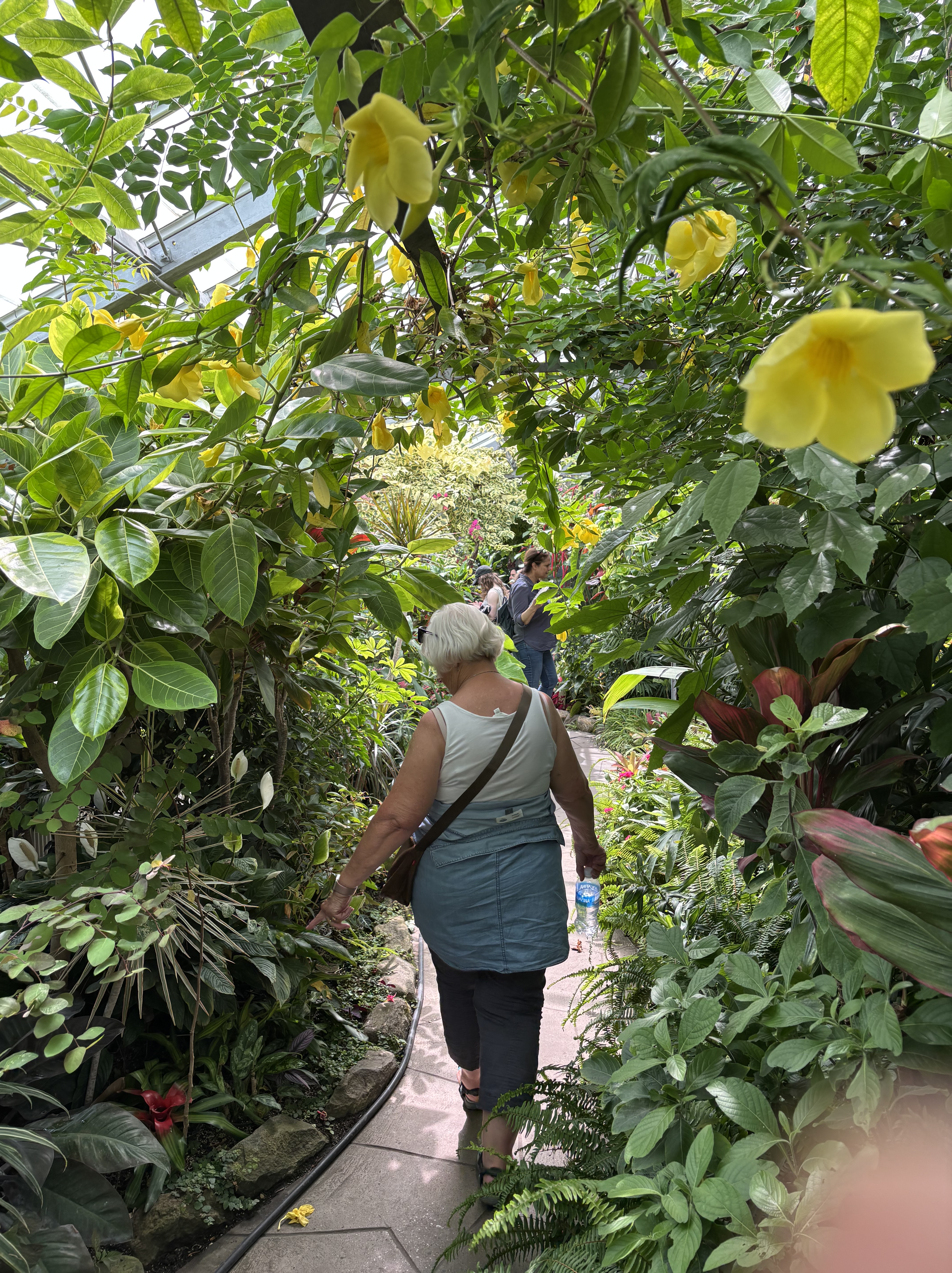
This area is also home to the Allan Gardens Conservatory, a series five of buildings housing exotic plants. Run by the Horticultural Society of Toronto which was founded in 1834, it is a quiet oasis in the hubbub of the city on Charlton Ave.

ALLEN GARDENS

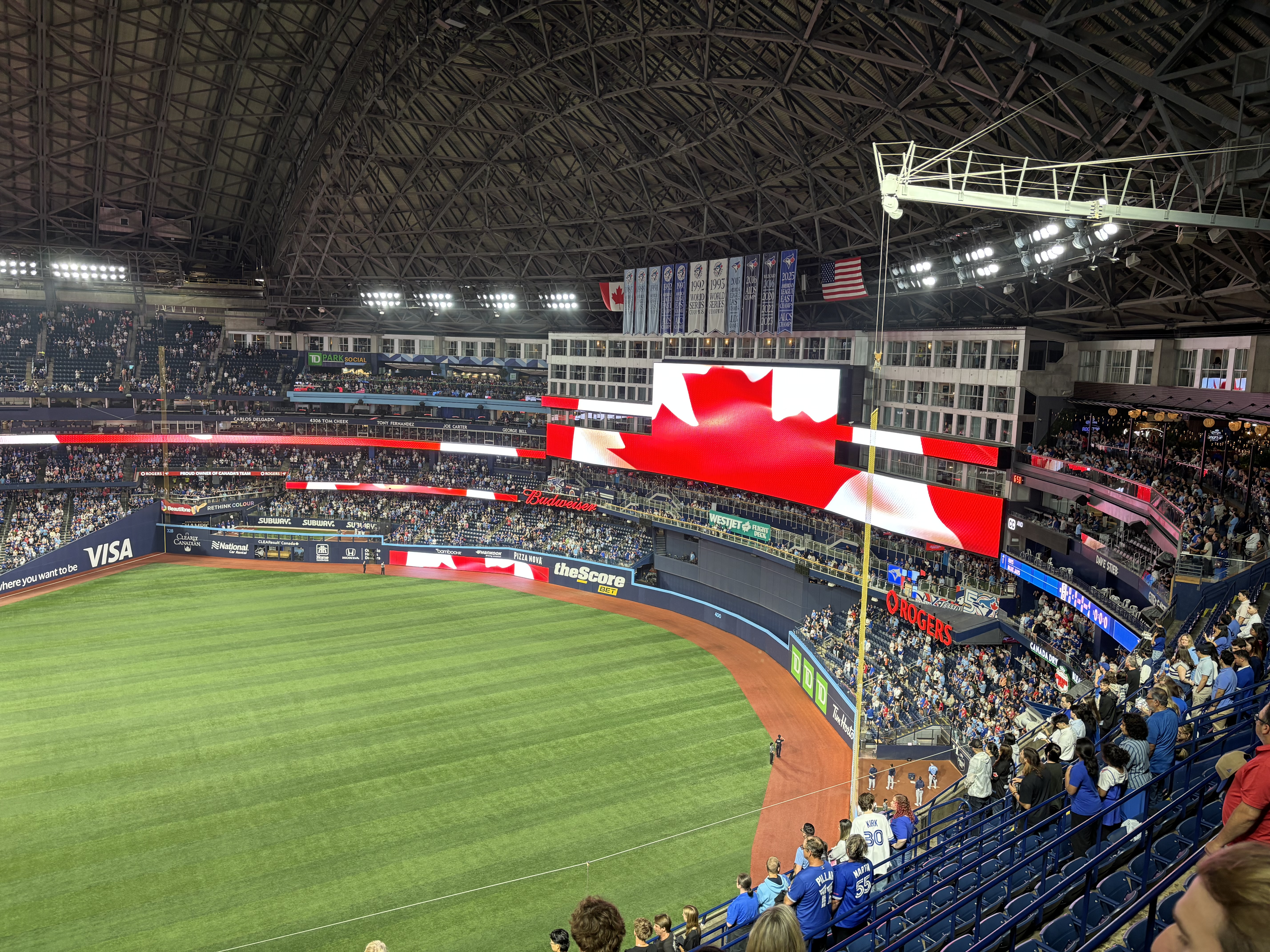
We are here to do Toronto touristy things. St Lawrence Market, the Hockey Hall of Fame, CN Tower and of course a Blue Jay game. Even though our seats for the game were in the 500 level, we were thrilled to be there. Truly must do event when in Toronto. The Jays weren’t as thrilled to see us though. They lost to the Tampa Bay Rays 12-2.

NATIONAL ANTHEM

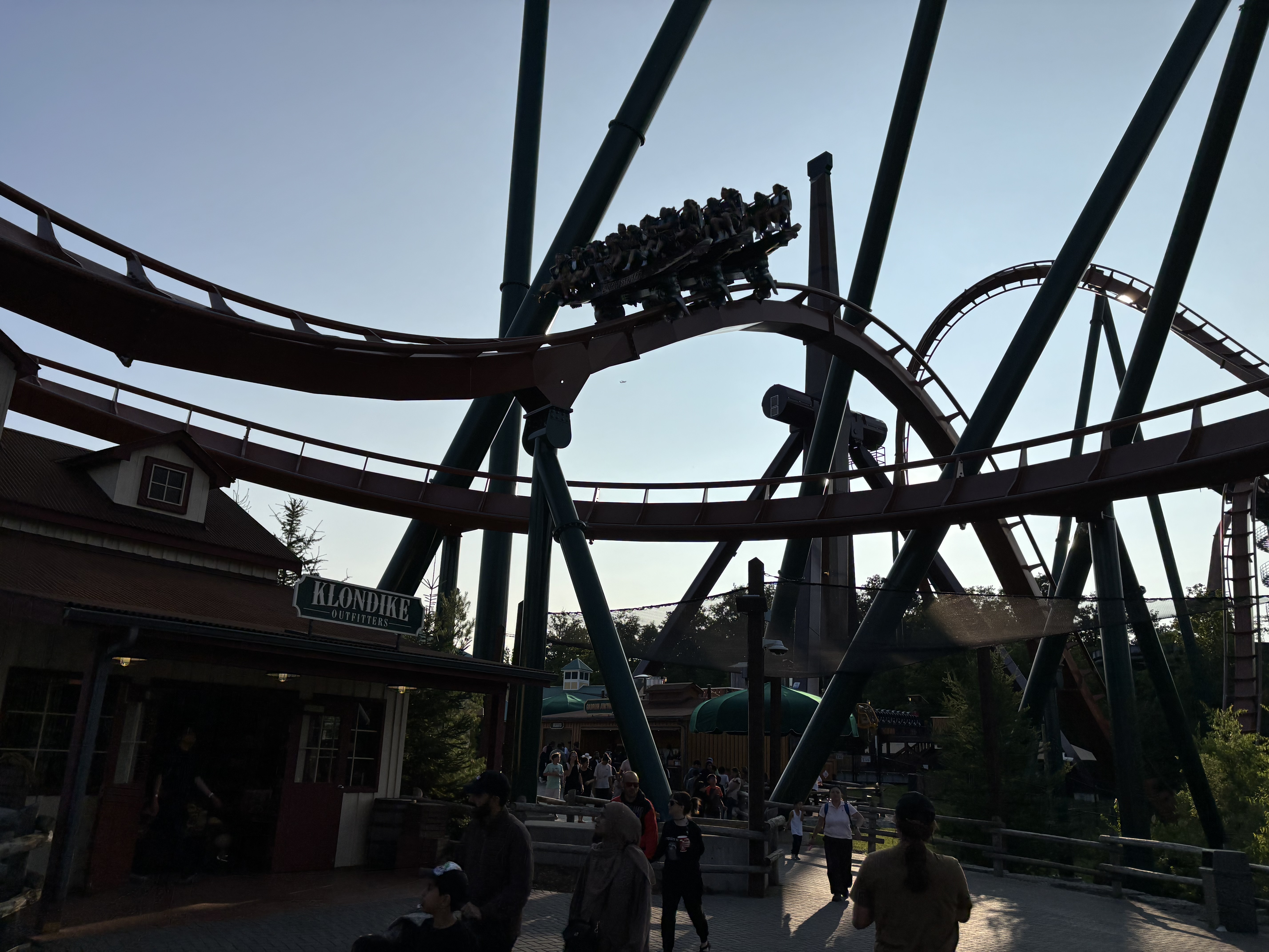
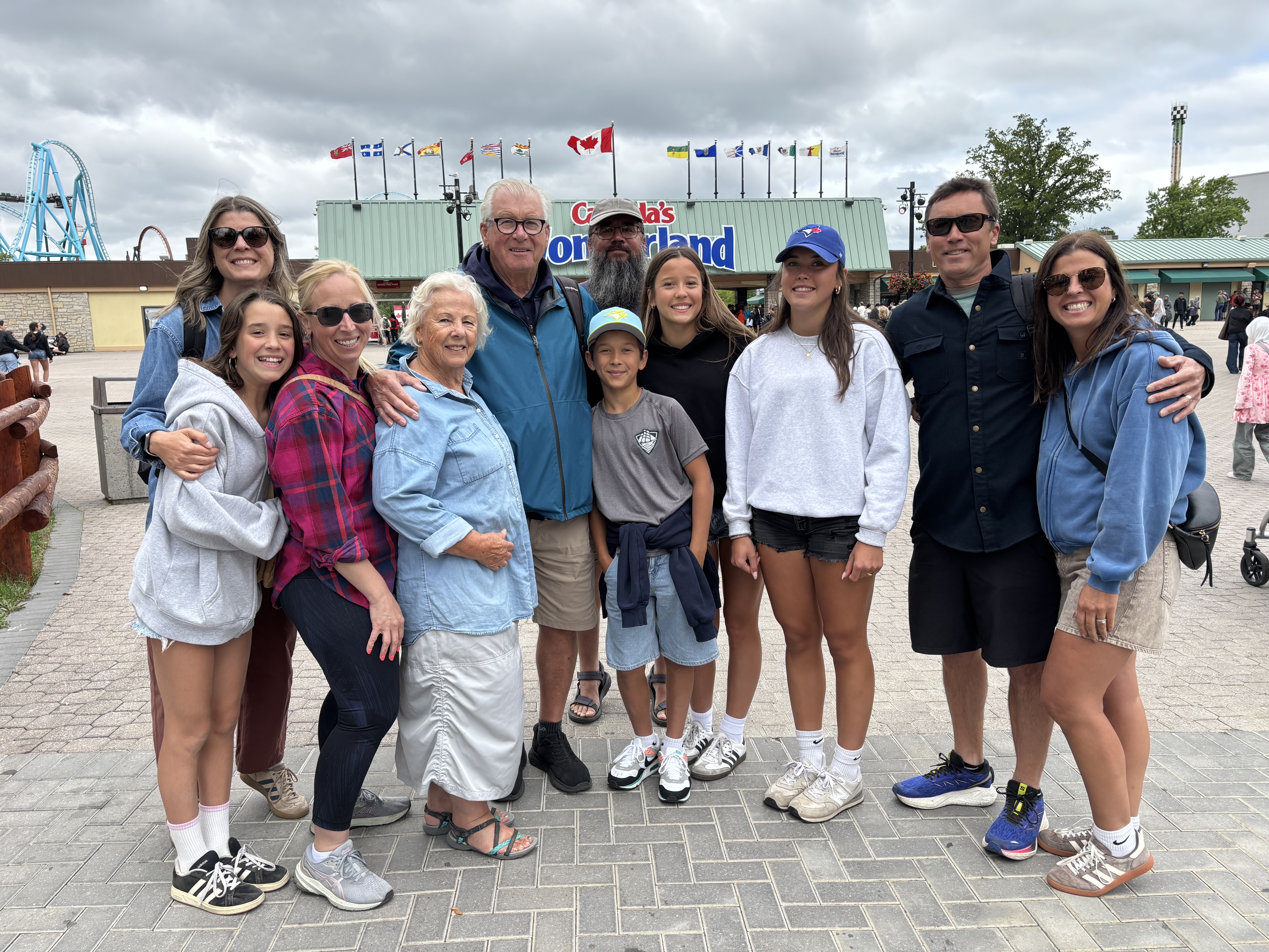
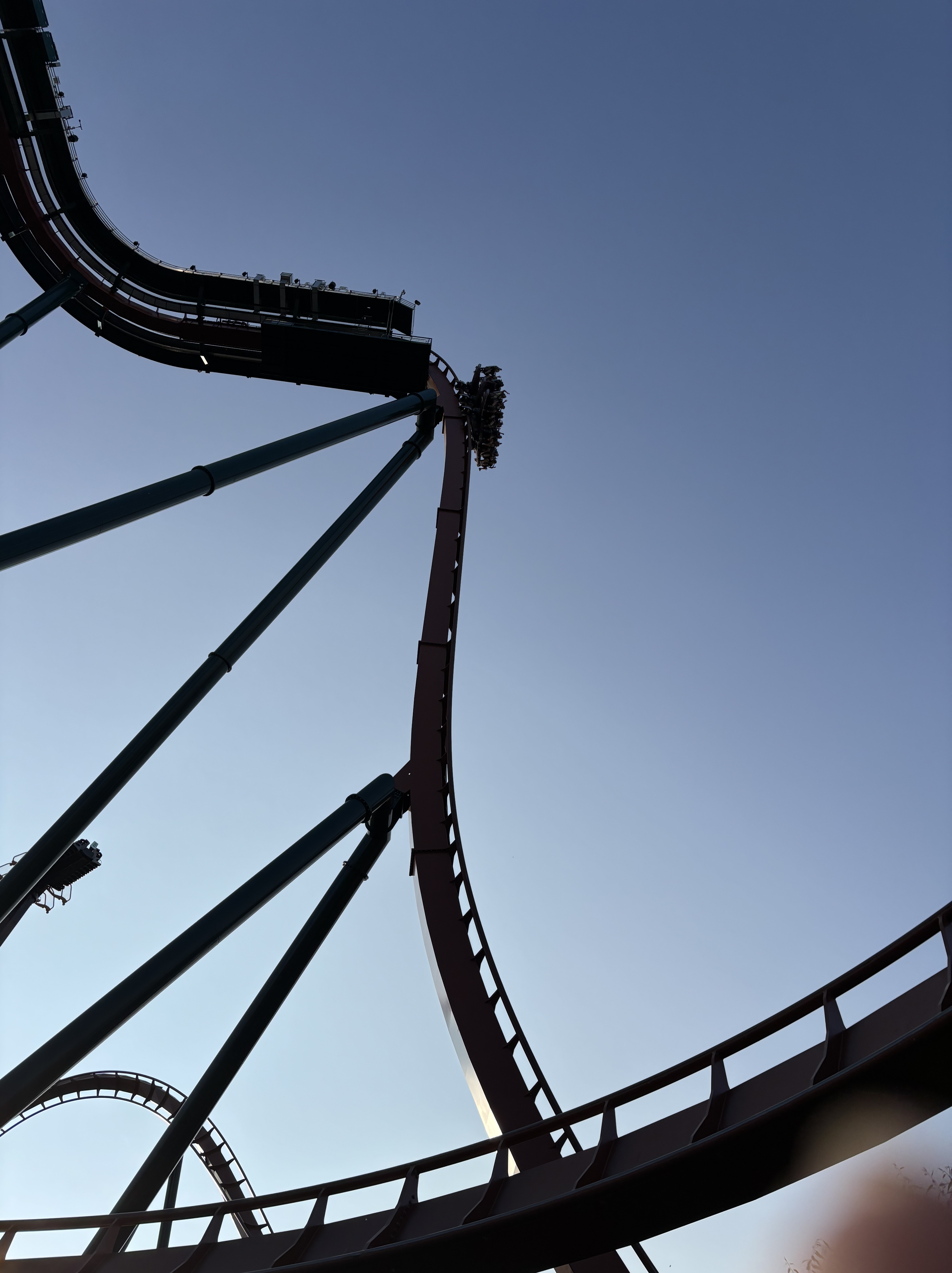
The highlight of the visit was the next day when we all went to Canada’s Wonderland, the large amusement and waterpark north of Toronto in Vaughan. So much fun and another great deal. $45 Canadian to get in and enjoy unlimited rides and the water park for the entire day. An extra $25 gets you “all you can eat” meals for the day.  And what rides they are. The Behemoth, the Leviathan, Alpen Fury, Vortex and the Yukon Striker are just a few of the over 200 attractions at the Park. Amazing times were had by all. I managed to get onto 5 of the more exciting rides before this 75 year old body said “enough”.

OUR DAY BEGINS

THE YUKON STRIKER, 75 METER DROP

YUKON STRIKER, 3 ROWS OF 8 RIDERS, VERY FAST.

The next morning the kids and grandkids were off to the airport for their trip home. Vicki and I headed back to Vineland for one last lunch with more cousins and my Aunt Norma whom I haven’t seen since 1973. She is 98 years old and a real firecracker. Wonderful woman and a joy to reconnect with her.  

We pick up the trailer and we are on our way….destination Kingston, place of my birth. Good night all.

EAST MEETS WEST, PART TWO

EAST MEETS WEST, PART TWO

For the last four days we have been in the Niagara Peninsula; orchards, wineries, swimming pools and family. I grew up in this area until I was nine years old. It is my father’s country. Cousins abound and gravestones with the Calder name chiseled into Canadian Shield granite are found in many of the local cemeteries. We moved west to Calgary in 1960 and as an adult I journeyed back to reacquaint myself with these cousins. Over the years I have introduced our daughters to these cousins and they have developed long distance relationships with them as well. We have gone to weddings in Ontario for 2nd cousins and those same cousins have come west to our weddings.

My cousin’s children have had children and our children have had children and now it is time to introduce this 3rd generation to each other. Boy what fun we have had. Each night it has been a pool party at a different house. Saturday was the annual Calder Summer Party when this branch of the Calder family gathered to share good times together. It has been going on for over thirty years. This year there were 50 people in attendance. Not all with Calder blood as there are sons and daughters in law and boy and girl friends as well. The family ties continue to grow and deepen and plans have been made for eastern family members to come west to ski and for us to return next year.

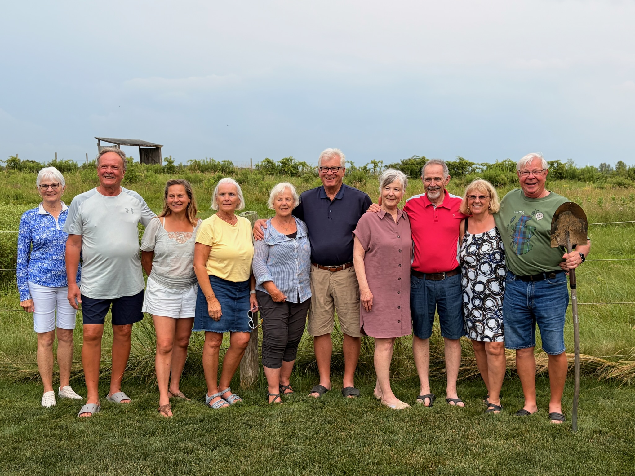
GENERATION #1, ALL FIRST COUSINS AND SPOUSES

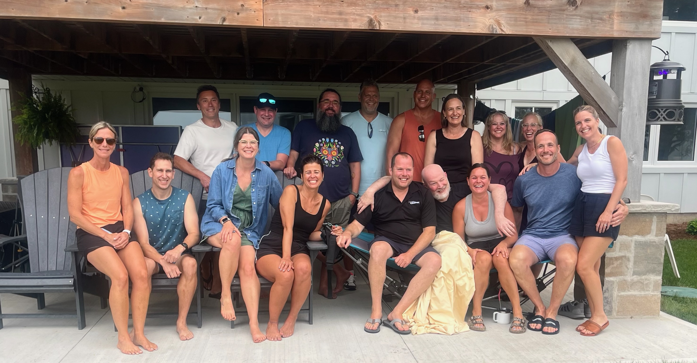
GENERATION #2 AND SPOUSES

SORRY NO GEN #3….TOO YOUNG

“THUNDERING WATERS”

Lake Ontario is the eastern most of the Great Lakes. Next in line is Lake Erie. Lake Erie is 99 meter higher in elevation than Lake Ontario. This elevation difference is due to the Niagara Escarpment, the Canadian portion of which runs from the Niagara River to the tip of the Bruce Peninsula at Tobermory Ontario. The escarpment was formed because rock of different hardness has eroded at different rates over the millennia and formed this sharp ridge that runs more than 725 kms. Over this escarpment runs the Niagara River, starting at the eastern end of Lake Erie and flowing 58 kms before emptying into Lake Ontario. Along the way it drops approximately 57 meters over the Escarpment to form Niagara Falls.

The first recorded and documented sighting of Niagara Falls by a European was by French priest and explorer Father Louis Hennepin although it has been widely speculated that the first European to see the Falls was Etienne Brule around 1615. Theories differ as to the origin of the name. Some believe the name derived from the name of the local indigenous peoples, the ”Niagagarega”. Others believe in comes from the Iroquois word “Onigiara” a more romantic word meaning “Thunder of Waters”

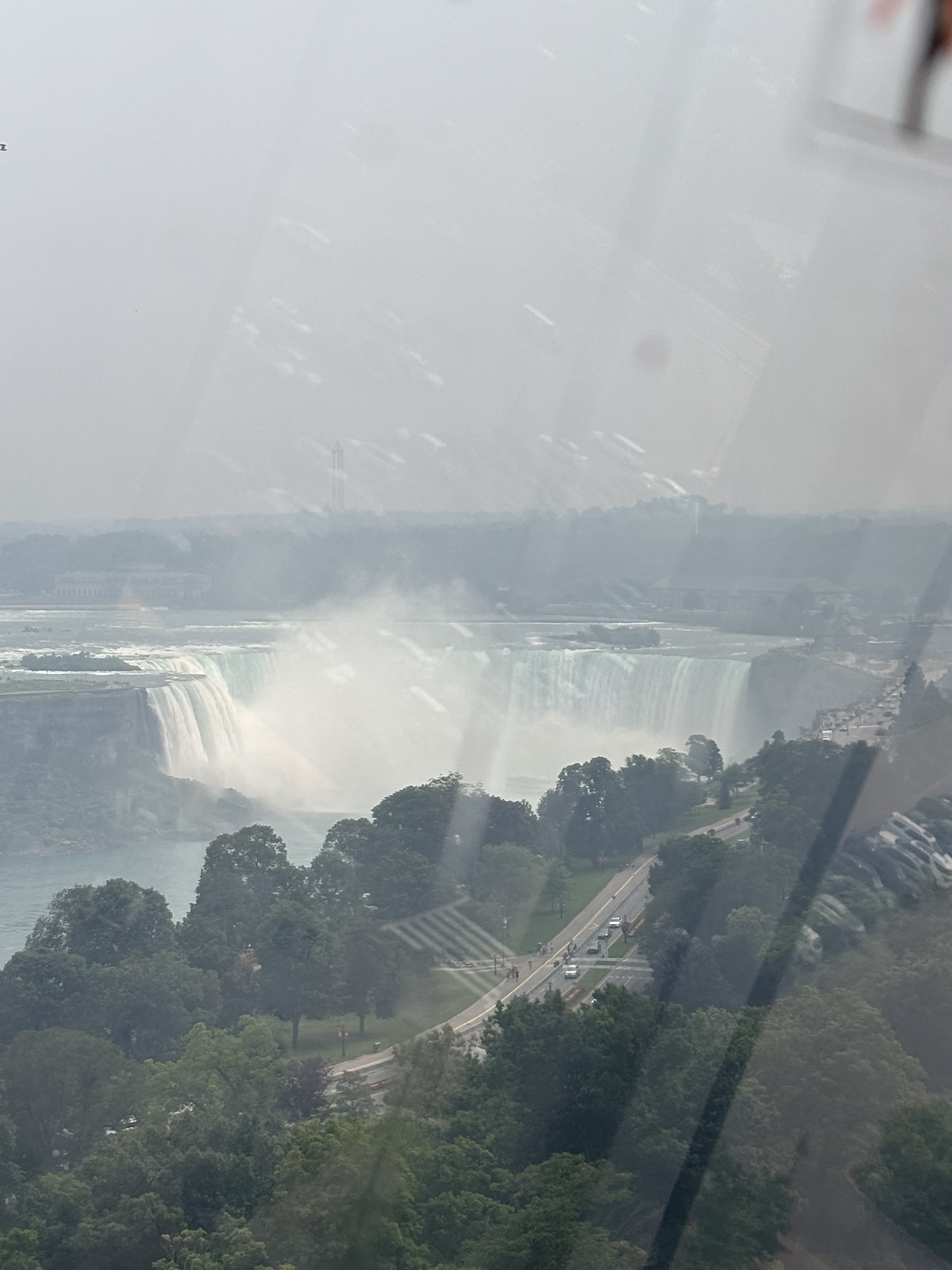
TOP PICTURE : HORSESHOE FALLS (CANADIAN SIDE)

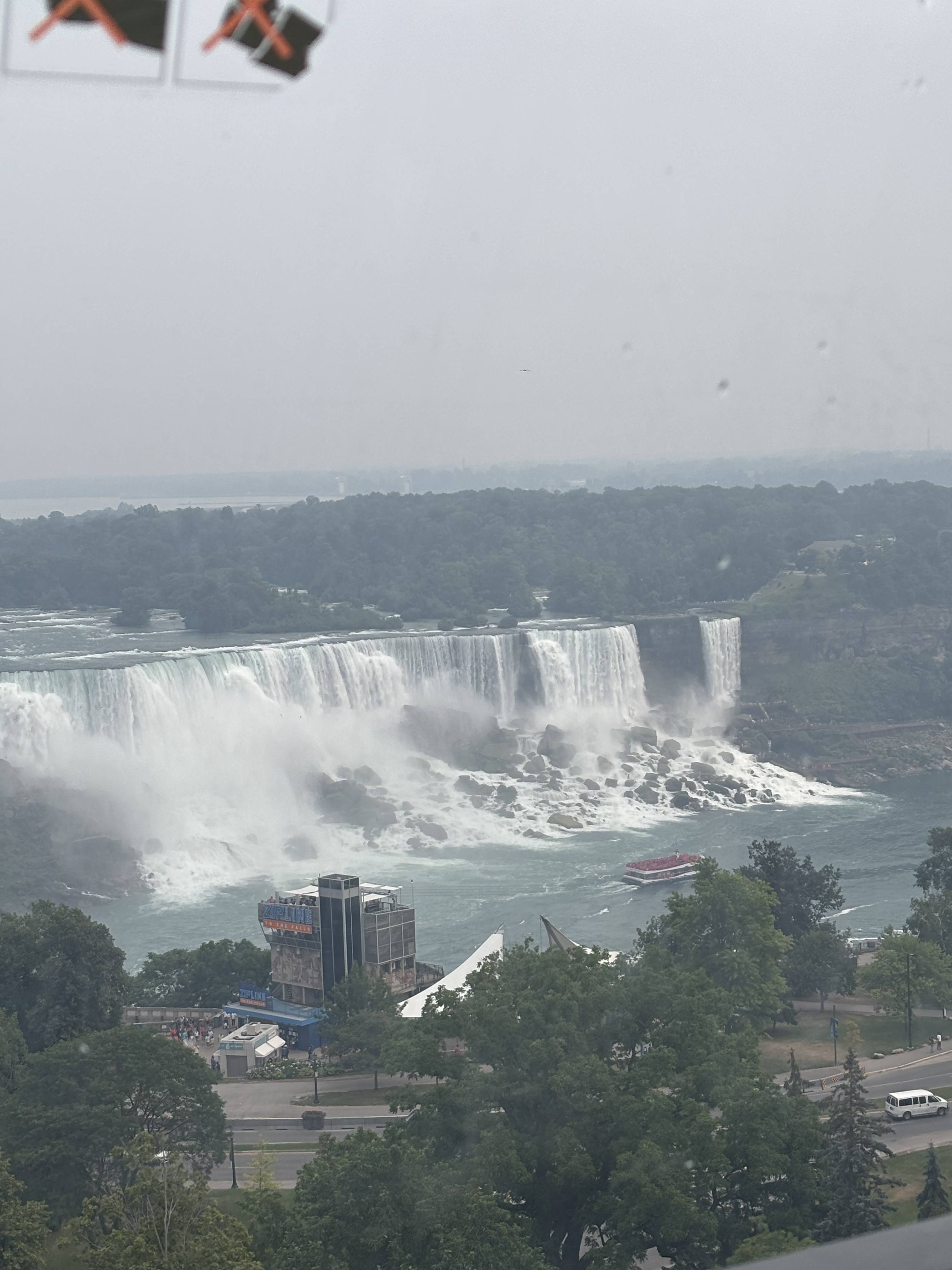
BOTTOM PICTURE: AMERICAN AND BRIDAL VEIL FALLS FROM THE FERRIS WHEEL

Speaking of romance, Niagara Falls (both the Canadian side and the US side) is now  and has been know as the “honeymoon capital of the World” for more that two centuries. The first two celebrity newly married couples to journey to the Fall area were Theodosia Burr, the daughter of then vice President Aaron Burr and her new husband Joseph Alston in 1801 and 1804, Elizabeth Patterson of Baltimore married Jerome Bonaparte, younger brother of Napoleon and they too spent their post-nuptial vacation in Niagara Falls. Thus began the reputation of Niagara Falls as the fashionable honeymoon and vacation destination it is today.

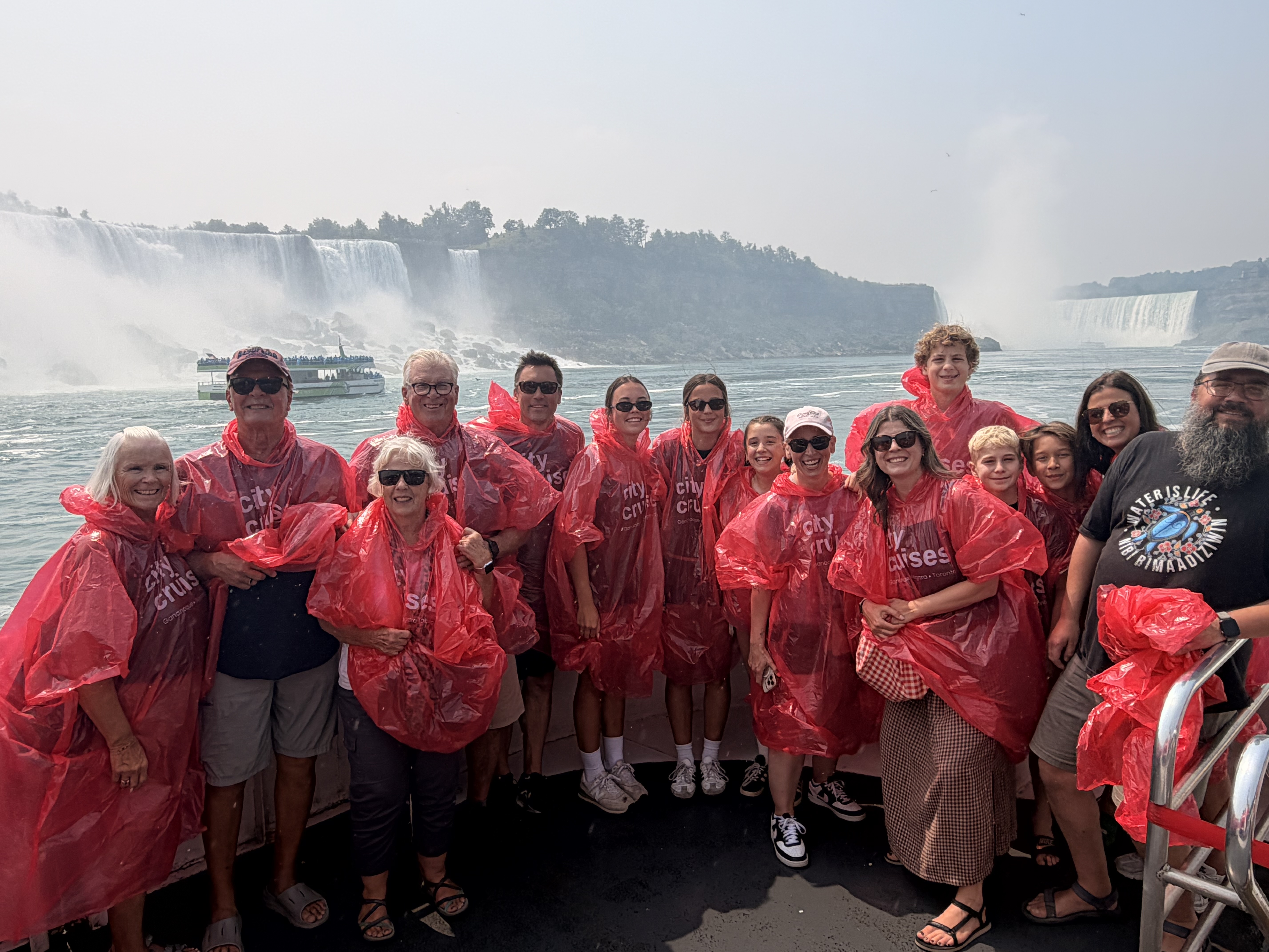
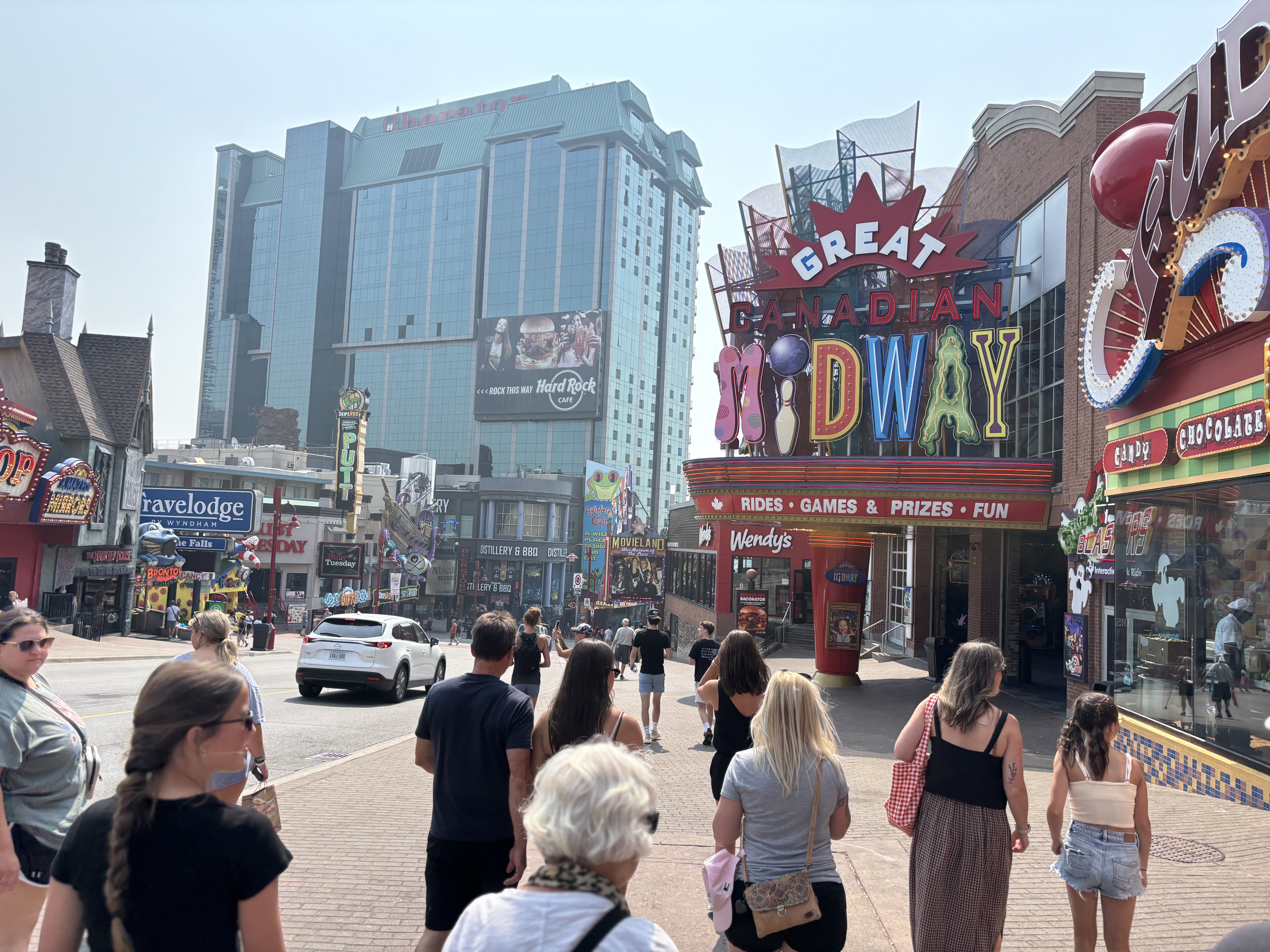
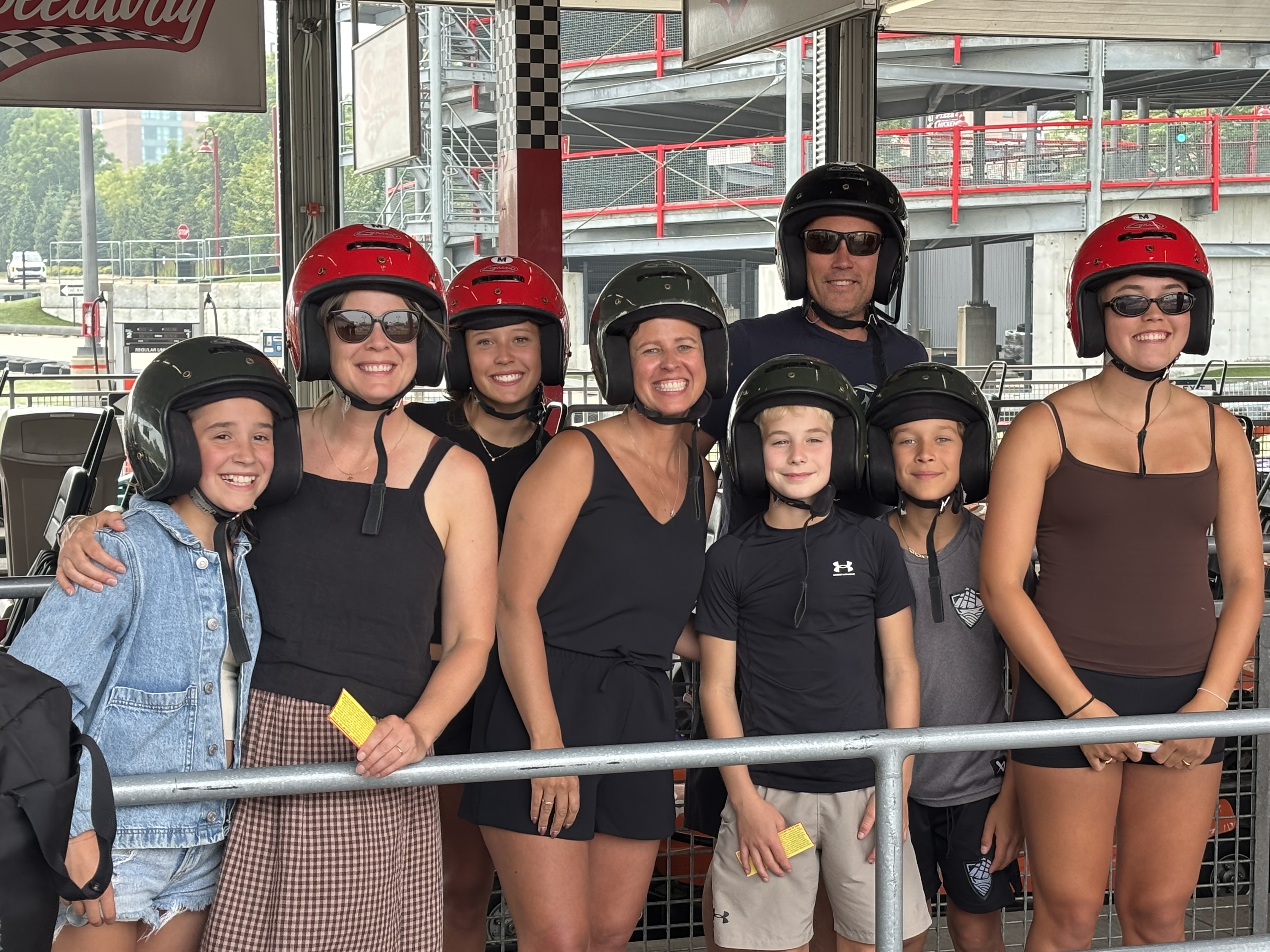
Shortly after arriving in Ontario, our immediate family, 3 daughters, requisite sons in laws and 4 grandchildren joined us. The kids were so excited to visit the Falls so off we trooped early in the day to enjoy the kitschy attractions of Clifton Hill, the gaudy, colourful tourist section of the area. We had purchased tickets in advance for the Niagara City Tours tourist boat which travels up inside the Horseshoe or Canadian Falls. Boarding the funicular tramcar, we journey down to the river’s edge, donned bright red plastic ponchos and climbed aboard the Niagara Wonder, the 700-passenger tour boat and away we went. We went past the smaller American Falls and the even smaller Bridal Veil Falls and soon we were right inside the Canadian Horseshoe Falls. Talk about your “atmospheric river.”  Wind, blowing rain and thunder. Everyone grinning from ear to ear. So much fun. Back on dry land it was time for pizza on Clifton Hill, go cart rides, Ferris wheel rides and a visit to the “Maze of Mirrors” A true Niagara Falls experience.

READY FOR THE ELEMENTS

Vicki and I had a chance to introduce our 3 daughters to this area about 17 years ago. To share it now with our grandchildren is an unforgettable joy for us and a loving gift to our family.  We have more special times planned with everyone while we are on this part of our journey. Dear Reader, please stay tuned.

CLIFTON HILL TOURIST AREA

“DRIVERS, START YOUR ENGINES”

DOWNTOWN CUCUMBER CORNERS

My dear readers of a certain vintage may remember a Canadian comedic actor by the name of Don Herron. He appeared in many CBC shows however his widest exposure came on the American country music show Hee Haw where he appeared for many years, His most recognize character was a country bumpkin named Charlie Farquharson from Cucumber Corners, a rural farming community in south central Ontario. As we travel south down Highway 6 from Owen Sound, we pass through such towns and villages as Chatsworth, Williamsford (home of the Williamsford Pie Company), West Grey, Mount Forest and  Fergus. I’m sure any of these towns could have been the inspiration for Charlie’s beloved “Cucumber Corners”.

Highway 6 passes field after field of corn, hay, wheat and soybean. Every thing is so lush and green after a lot of rain and now the heat. The wheat is golden in the fields and looks ready to harvest. With the windows down we breath deeply the smell of freshly cut hay. As the highway passes  through the towns it becomes Main Street in most places. Beautiful, mostly old stone buildings line these streets. The bigger towns have a newer Tim Horton’s near the outskirts and a Royal Bank or a CIBC occupying a sturdy looking stone building near the center of town. You may remember my first post in this series where I called this journey the “True North Strong and Free Tour” The picture below was a scene painted on the side of a funeral home in Fergus. I had to drive around the block to go back and get the photo.

Soon we are into Guelph then on to the 403 freeway near Hamilton which puts us onto the Queen Elizabeth Way or the QEW as it is know in these parts. We are now on the Niagara Peninsula, the land situated between Lake Erie to the south, the Niagara River to the east and Lake Ontario to the north. Not a “peninsula” per se but an “isthmus” it is known for numerous wineries, historic sites of battles during the War of 1812 and of course Niagara Falls, a name derived from the Iroquois word Onguiaahra meaning “the strait”, “the neck” or “thundering waters.” We have arrived at our destination for the next week, my home for the first 9 years of my life, Vineland, Ontario where we are going to visit with cousins and party for the next week. Stay tuned……..