
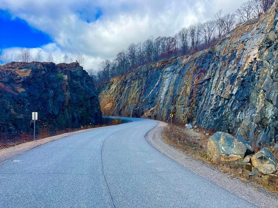
Since arriving in Kenora we have been driving through the Canadian Shield, the great Circle of ancient bedrock that covers most of Central, Eastern and Northern Canada. I remember learning about the Shield in my Canadian geography class probably in late elementary or early Jr High school grades. As we continue east along Highway 17, the Trans Canada in these here parts, the road skirts around which seems like hundreds of lakes bordered by the Boreal Forests. After awhile there seems a sameness to it but I keep my eyes peeled for the next outcropping a granite, the stuff of headstones and countertops. Such a wide range of colours; from white, light grey, darker grey, pink, brown, green and black. The exposed rock is really very beautiful and keeps me on the lookout. We stop in Ignace, Ontario, site of many granite quarry operations. The visitor center on the west edge of town demonstrates fine examples of granite building materials.
Our destination tonight is Animikie Is means “thunder” in the Ojibwe language as a result of the frequent summer thunder storms and the sounds of the storms echoing off the cliffs of Animikie Mountain.
We are in a very nice campground about 25 kms west of TBay and settle in for the night, having planned a busy day on the morrow.
First thing in the morning we head towards the Fort William Historic site, sight of the famous trading center operated by the North West Company from 1802 when it relocated from Grand Portage to the south, until 1821 when the company merged with the Hudson’s Bay Company. The fort was originally named Kaministiquia after the river upon whose banks it sits and renamed Fort William in 1807 after William McGillivray the director. Fort William gave it’s name to the town and ultimately the city that grew up around it. It’s twin city Port Arthur was established as Prince Arthur’s Landing (after Queen Victoria’s son) in 1869. Renamed to Port Arthur in 1882 and finally amalgamated with Fort William in 1970 to become the modern city of Thunder Bay, a return to the theme of it’s original indigenous name.
The skyline to the south of TBay is dominated by the towering land mass of Animike Mountain or Mt McKay as it is known today. There is a commanding viewpoint on the eastern flank of the mountain reached by a winding road through the Fort William First Nation where you can also buy really cheap gas by the way. We pay the $10 per car load toll and head up the road to the lookout and some gorgeous views over the city and Lake Superior. Out in the lake to the east of town you can see the Sibley Peninsula, home of the Sleeping Giant. See for yourselves when you view the pictures below.
We head back out of town for a bit of a rest at our trailer before our next adventure. No trip to Tbay would be complete without a visit to Kakabeka Falls. Featured in Season 7, episode 9 of Amazing Race Canada, it served as the “pitstop” for that episode. Known as the Niagara of the North. It features a 130 foot drop, is 225 feet wide and on avergage, 1,766 cubic ft per second flows over the precipice. Situated within Kakabeka Provincial Park, it was a major obstacle to the voyageurs of the Northwest Company as they paddled their freight canoes up and down the Kaministiquia River. It required a lengthy portage to get around.
Well, I have certainly become quite longwinded tonight. So many interesting things seen over the past 2 ½ weeks. I am just bubbling over with the need to write it all down and share it with you. I appreciate your efforts to follow along. Good night to all

Visitor Center at Fort William Historic site

Entrance to the Fort

Watch tower inside the Fort
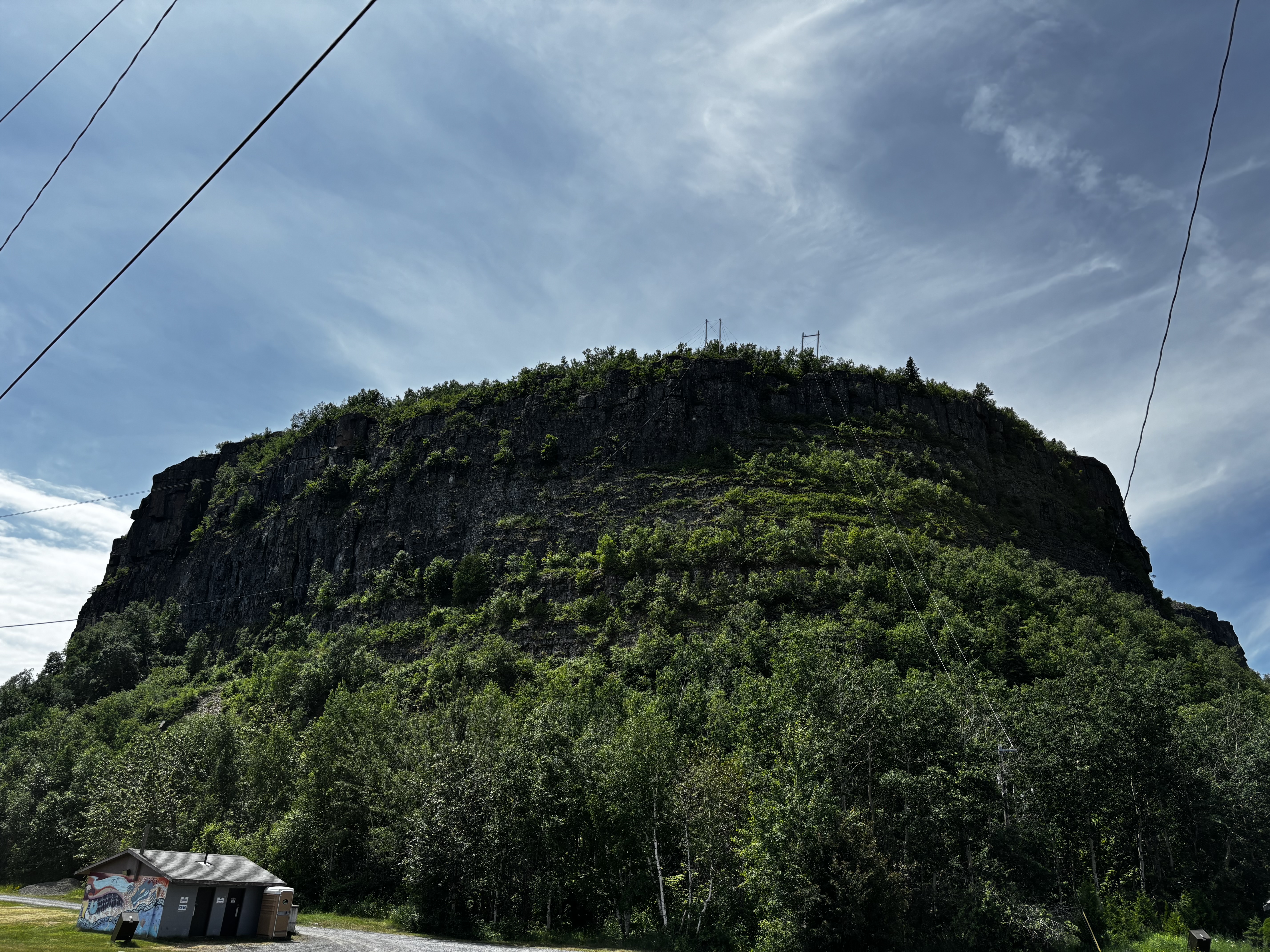
Animikie

The Sleeping Giant
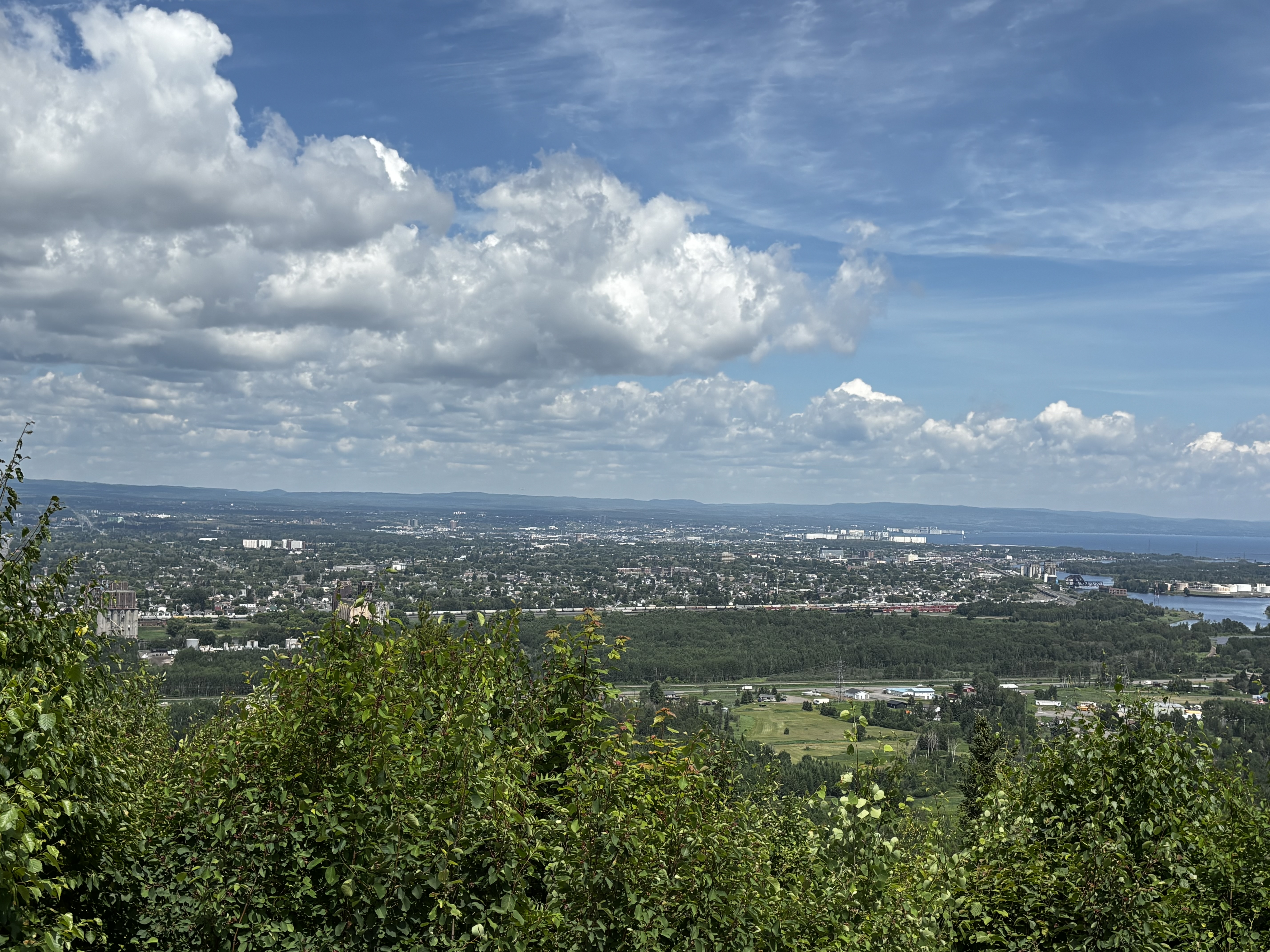
Thunder Bay looking north from the Animikie lookout
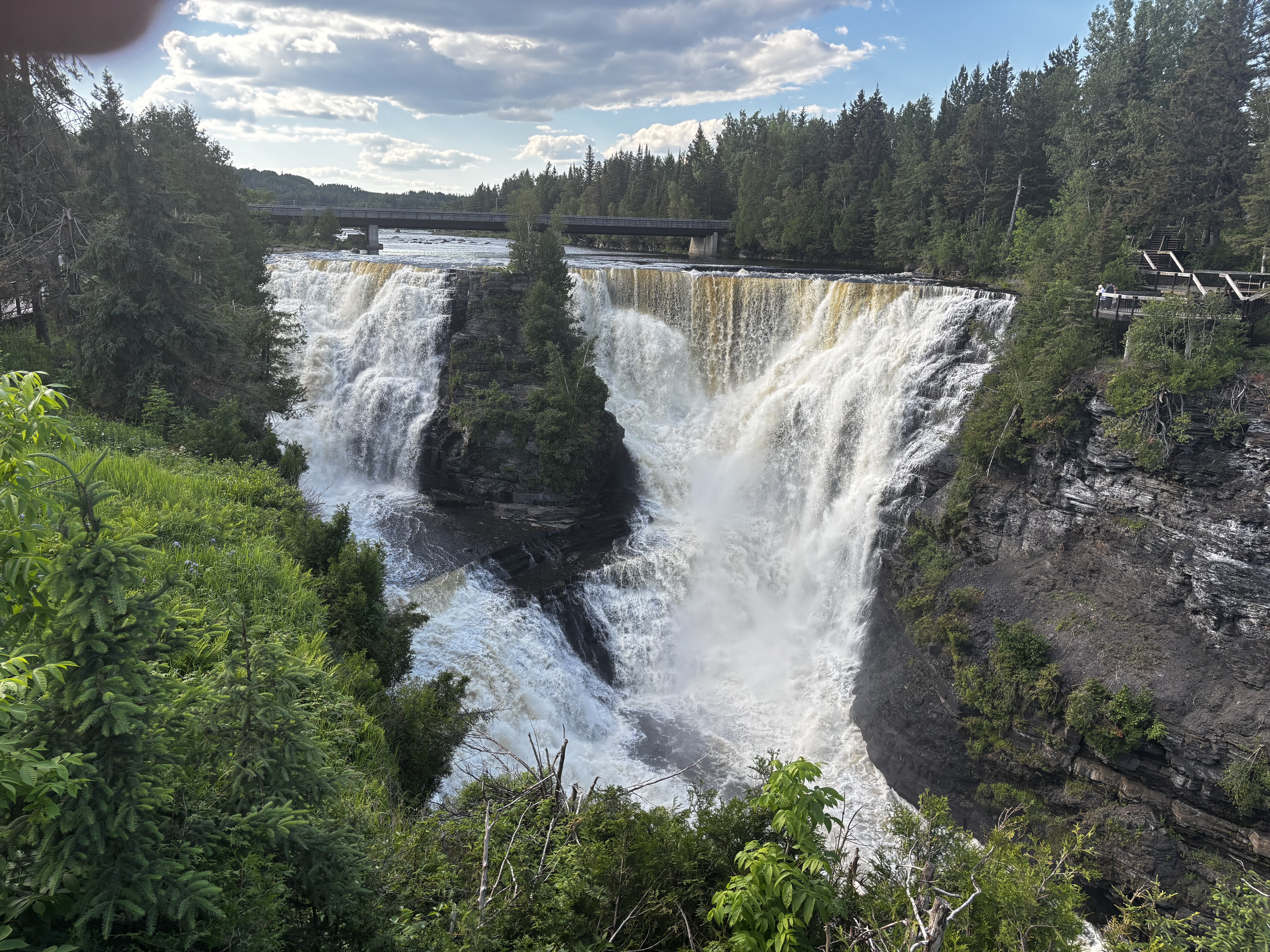
Kakabeka Falls Niagara of the North
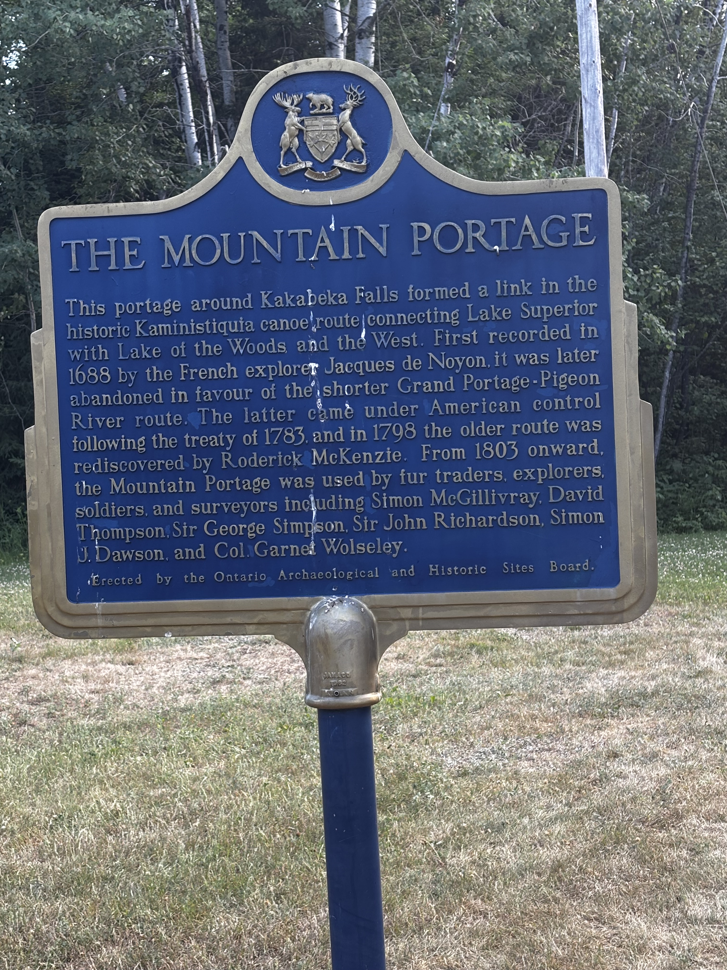
The Mountain Portage around the Falls
 Graham and Vicki's World Adventures